Friday, July 29, 2005 -- Icefields
Parkway Southbound
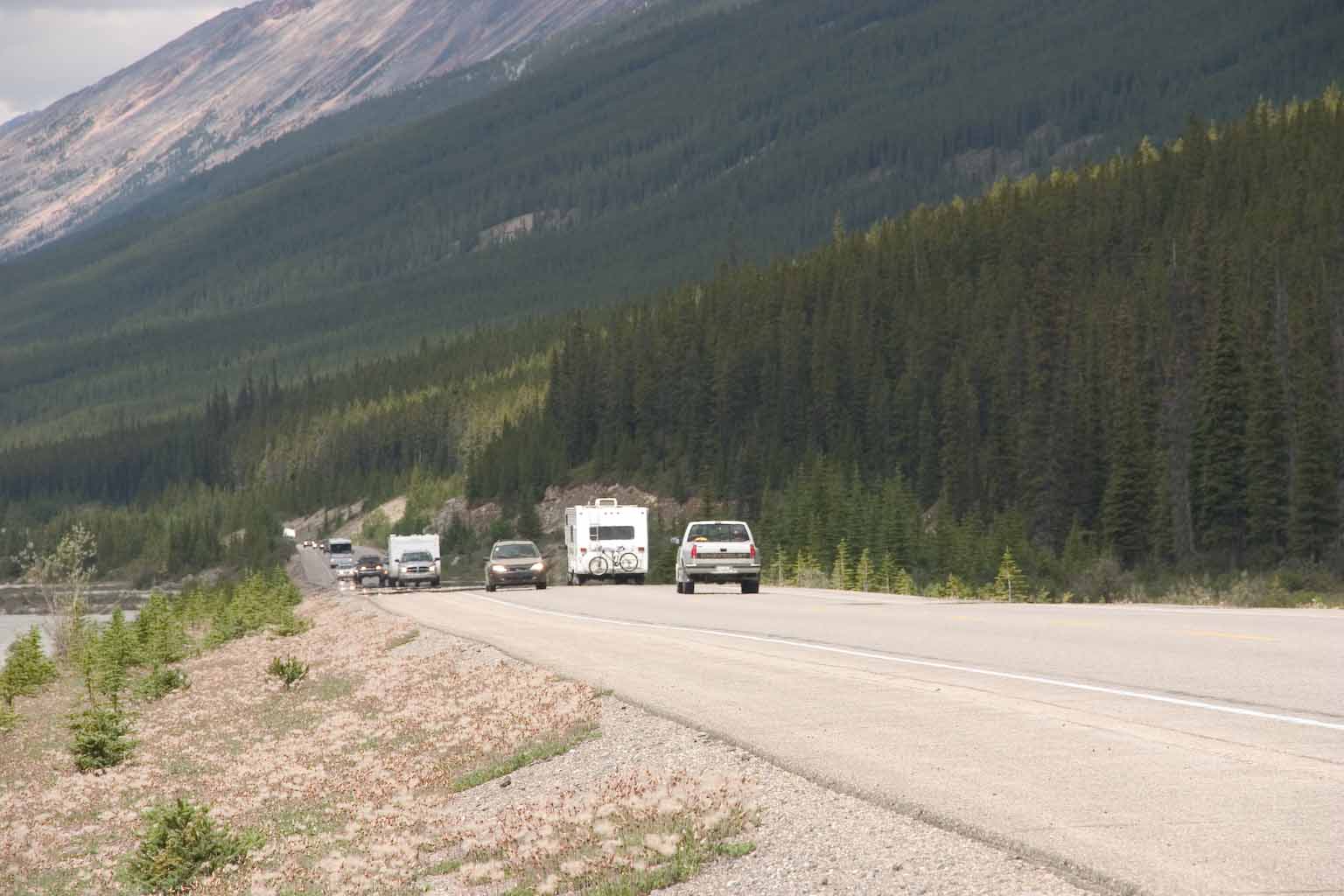
We spent today driving from Jasper back down south to Banff.
Since we had come north on this same route just a couple of days
before, we concentrated today on catching things that we missed on the
way up. Not so many pictures today.
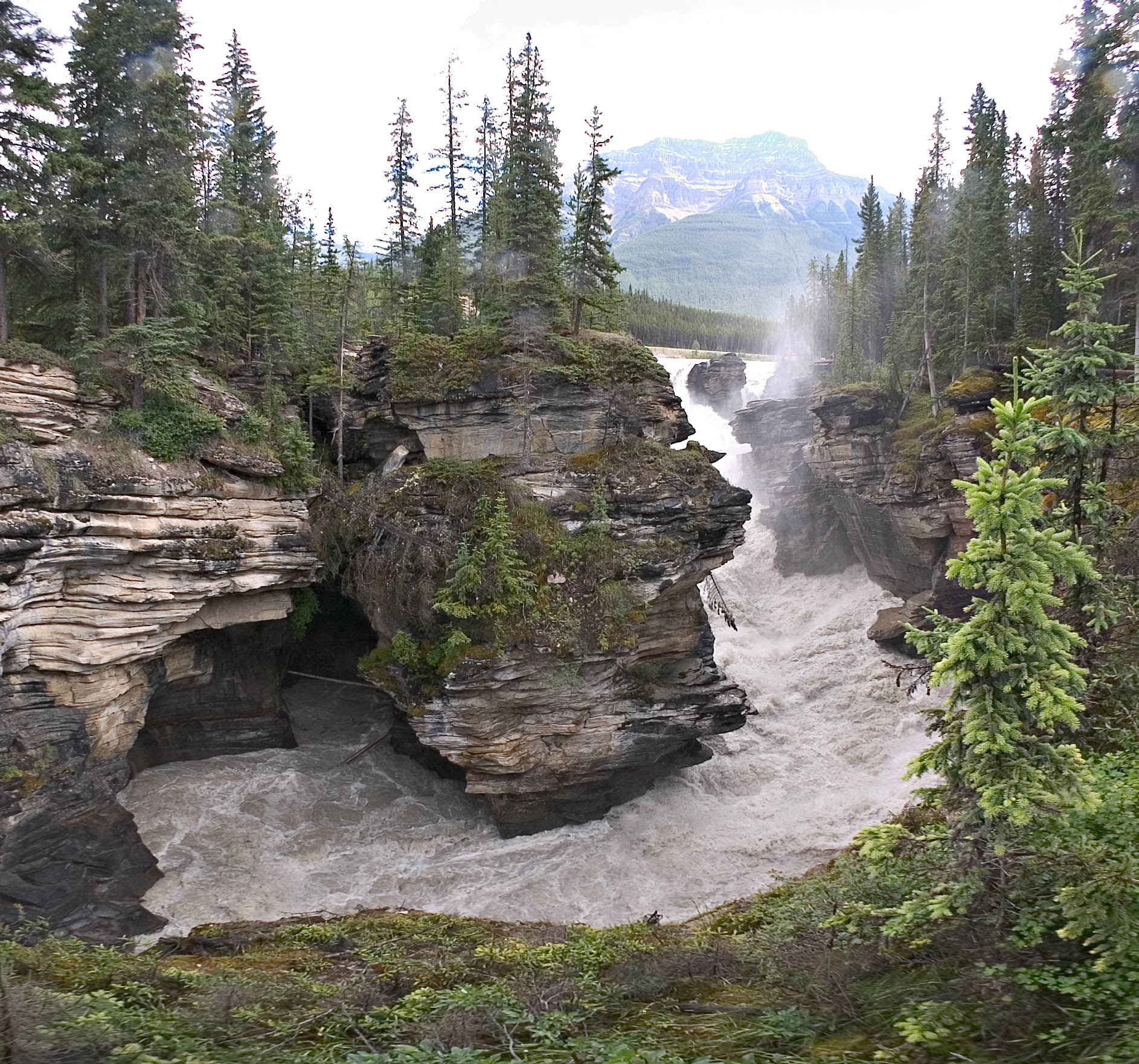
Here is a wideangle view of Athasbasca Falls, from the footbridge
across the river. These falls are noted for having potholes
scoured in the rock. There is even one abandoned channel with a
trail down it, so you can examine the rock close up. In the view
shown here, the swirl of water near lower left with the treetrunk is a
pothole -- the river actually exits at extreme lower left, hidden by
the near bank. (A technical note about this image: it is extreme
wideangle -- 112 degrees side to side -- captured with a fisheye lens
and remapped using computer software into this "equirectangular" format
that minimizes distortion and avoids the classic fisheye appearance.)
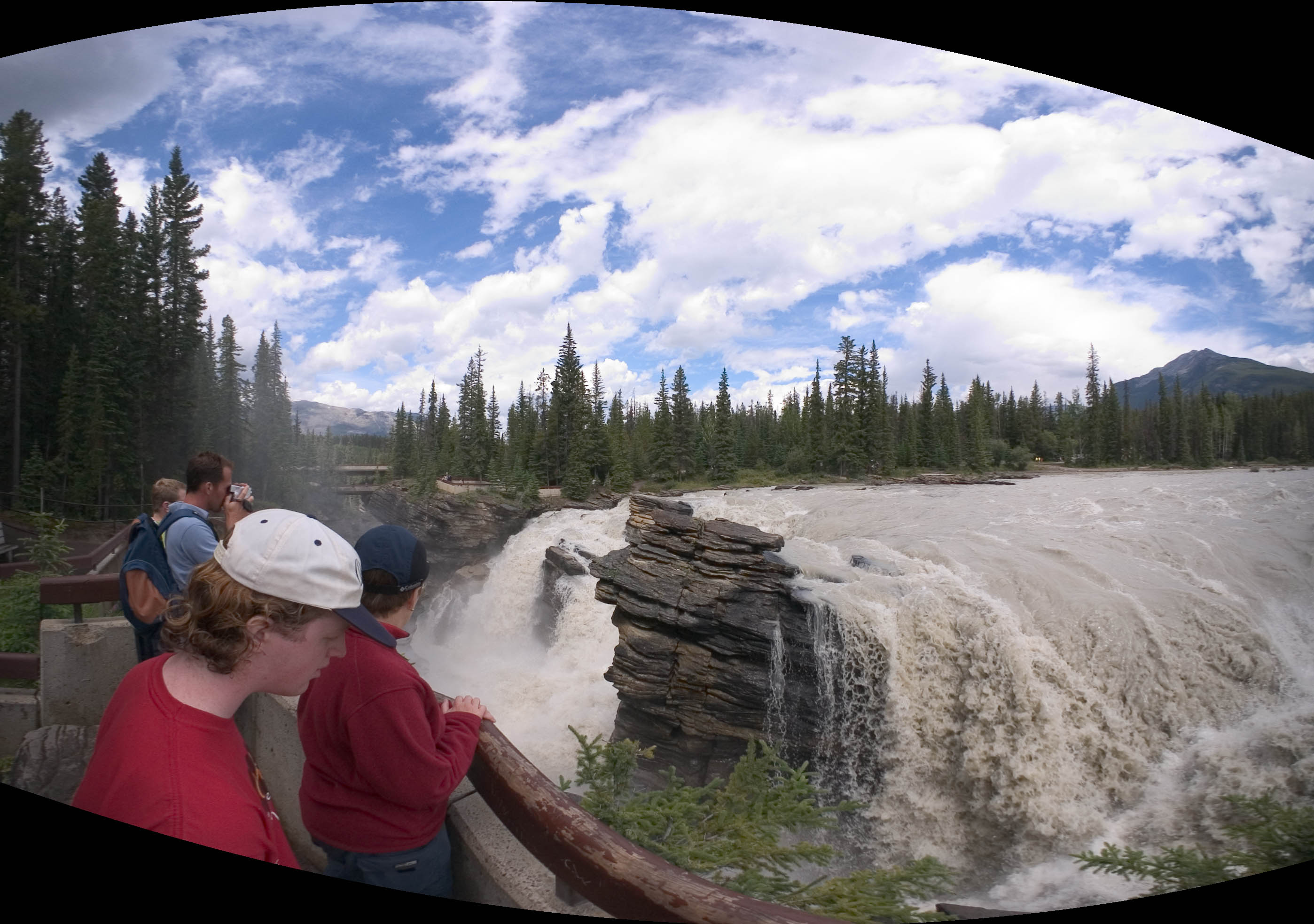
Here is another view of Athabasca Falls. It was shot from the
viewpoint that can be seen at upper river level, on the right in the
photo above. This is even wider angle -- 177 degrees side-to-side
-- shot with fisheye holding the camera at arms length high over the
rail, and processed on computer as described above.
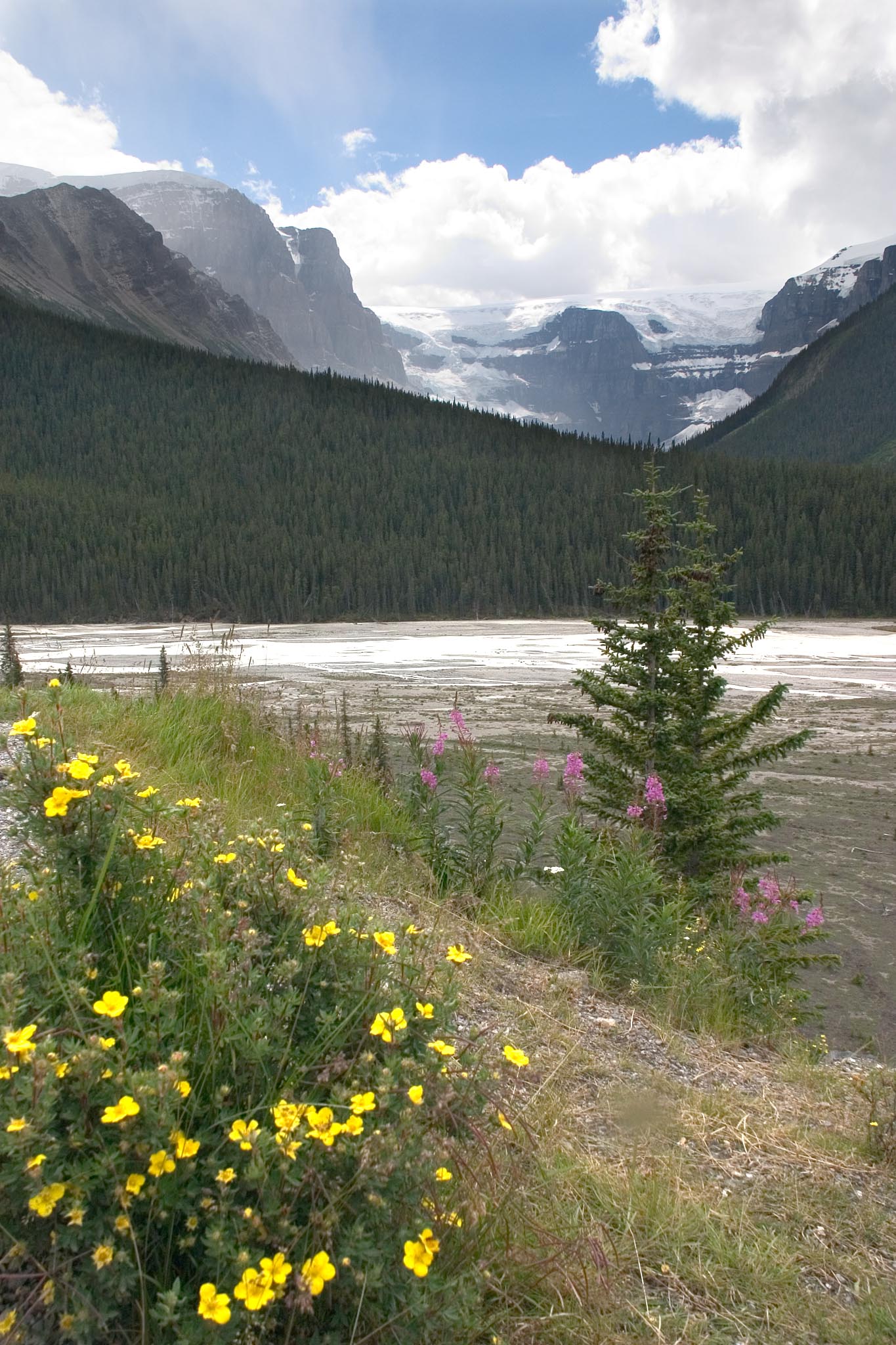
Sunwapta Falls...
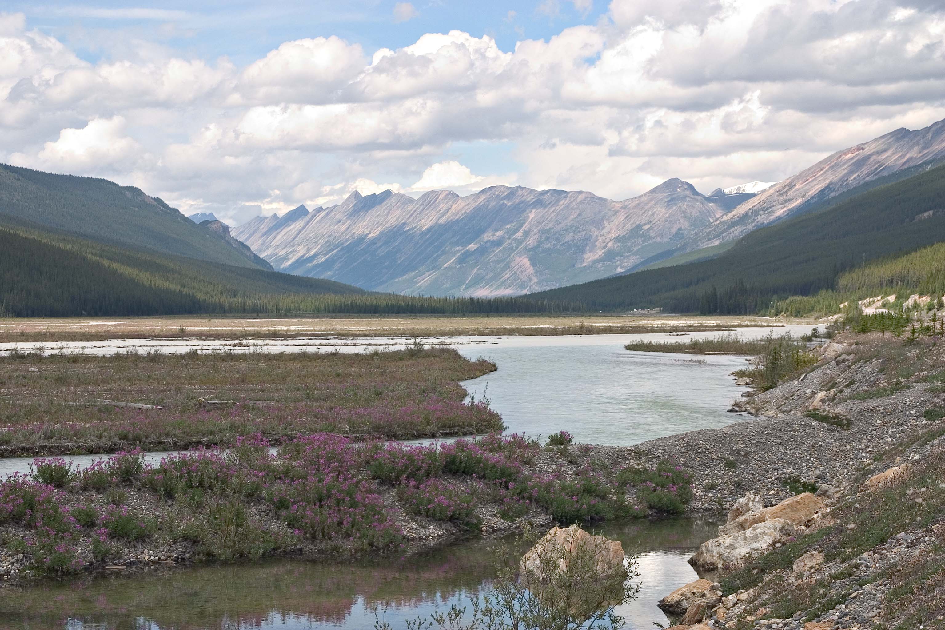
Fireweed in the Athabasca River flood plain...
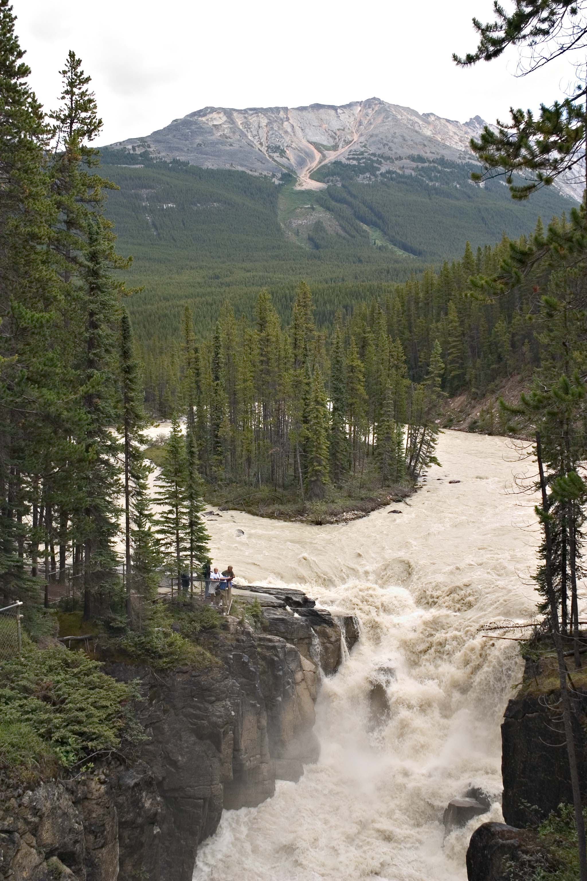
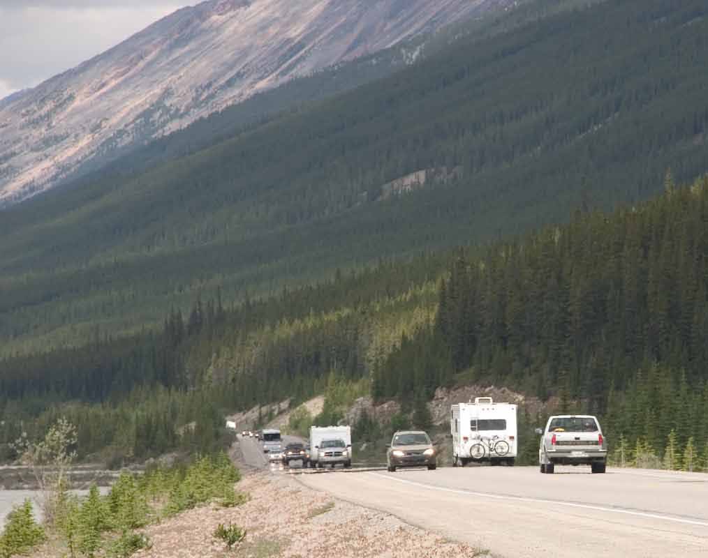
The above shot looks peaceful. But to the right of center you can
see some white blobs that look like human artifacts. Here is what
they looked like a few seconds later...
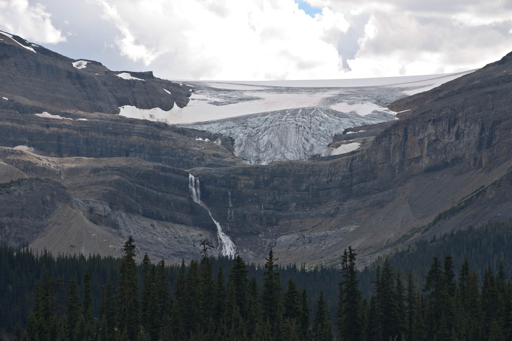
Stutfield Glacier. Says the guidebook, "This is, in our opinion,
the most beautiful glacier visible from the Icefields Parkway.
Pristine white with undertones of blue, Stutfield Glacier tumbles down
900 vertical metres (2,950 feet) of cliff face. Like the
Athabasca Glacier, it is one of the six major claciers that overflow
from the Columbia Icefield." Alas, the weather did not cooperate
to let us fully appreciate the colors of the glacier.
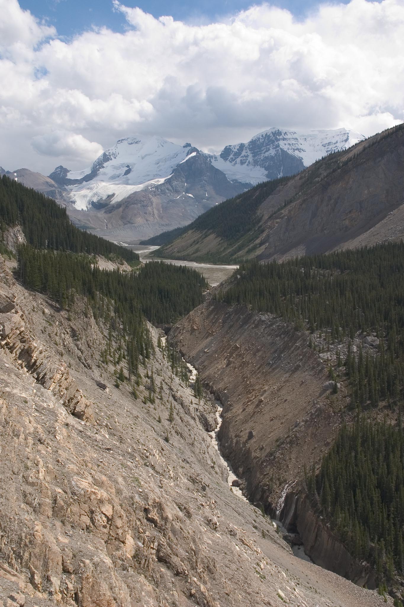
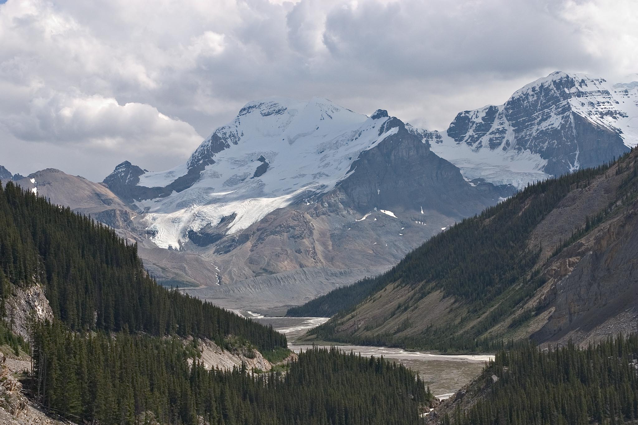
This is approaching the Athabasca Glacier. The Athabasca
Glacier is out of sight behind the ridge to the right, but its huge
lateral moraine can be seen at the background end of the river (yes,
the Athasbasca River). See next picture for details.
Here you can see the Athabasca Glacier lateral moraine in more
detail. This is a telephoto shot corresponding to the upper
center of the above picture.
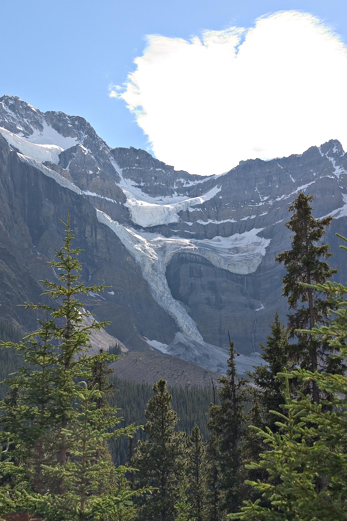
This is an unnamed small glacier just hanging around alongside the
road. There were tiny unmarked pullouts where I got this shot and
the one below, of the Peyto Glacier. We missed both of them the
first time past, but turned around at the Peyto Lake viewpoint and went
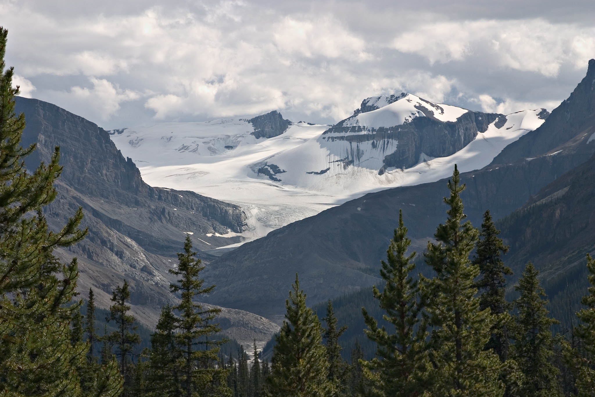
back to get the photos.
This is Peyto Glacier, which feeds Peyto Lake. You can match it
up against this panorama
taken a couple of days earlier.
Bow Glacier...
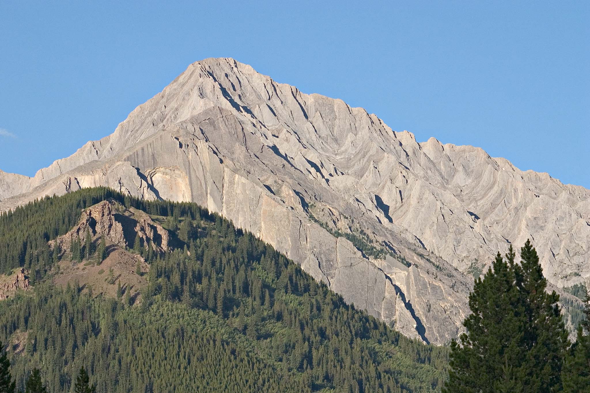
This is at Moose Meadows, on the Bow Valley Parkway between Banff and
Lake Louise. See the next photo for closer view of the mountains.
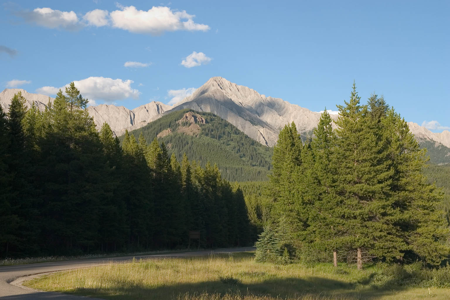
These mountains appear to be nothing but bare rock, even through
binoculars. There is one little flat spot, visible in the image
above but not in the telephoto below, where a few small trees have
managed to grow. Goodness knows where they found the soil!
And that's the last photo for the day.
--Rik
This page last modified August 17, 2005.