Wednesday, July 27, 2005 -- Icefields
Parkway Northbound
Today we drove northbound, from Lake Louise up the Icefields Parkway to
Jasper. One of the guidebooks says that "Although it is possible
to drive the Icefields Parkway from Lake Louise to Jasper in 3-1/2 to 4
hours, we recommend you set aside at least a full day, or better yet,
two days." Good advice. We took a full day going up, and
another one coming back.
Amusing aside: Due to trouble getting space at the last moment, our
first-cut itinerary & reservations had called for driving from
Calgary all the way to Jasper on the same day we flew in. I am
really really glad that we
took the time and trouble to rework that ill-considered plan!
Here's the day. (Chronological order, click any image to make it
full-sizeable.)
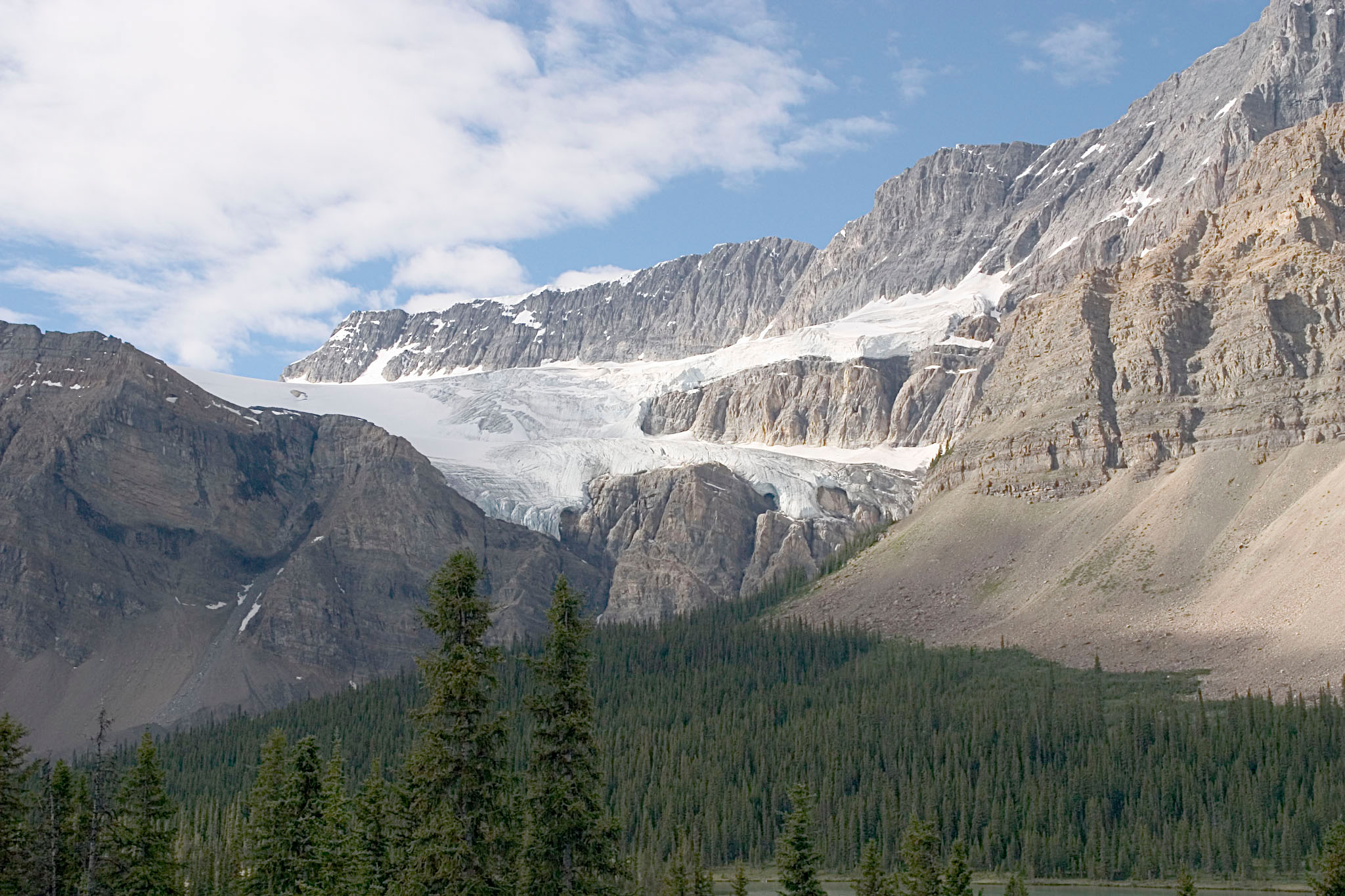
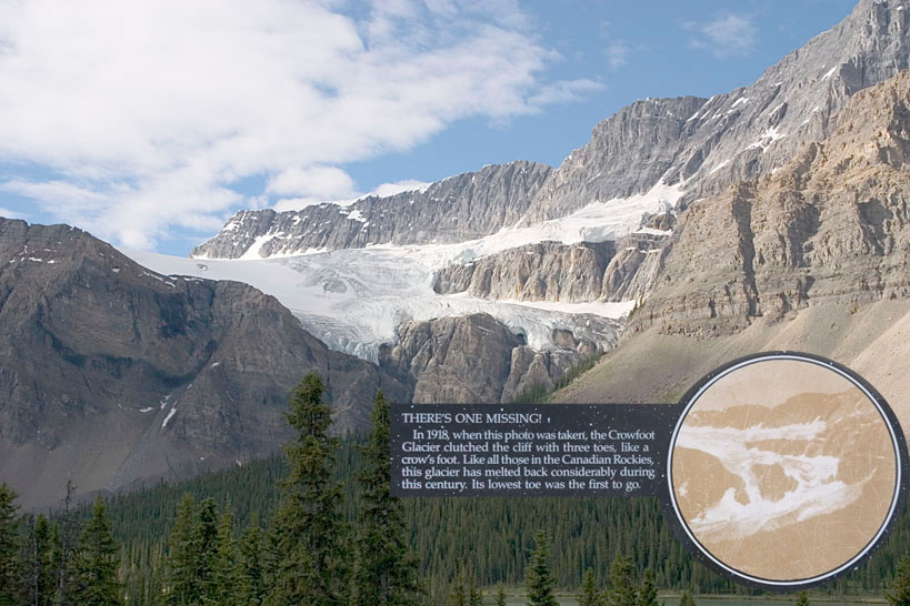
Crowfoot Glacier, about 25 miles north of Lake Louise. A sign at
the viewpoint points out that the ice is about 50 meters (165
feet) thick at the edge of the glacier -- so the 11-story Banff Springs
Hotel would be smaller than the ice wall.
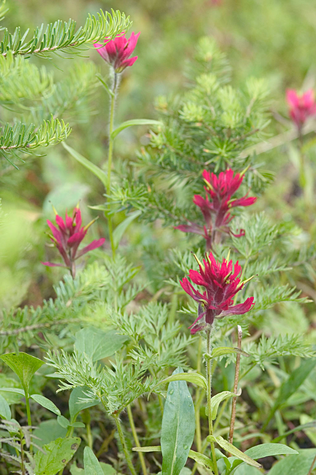
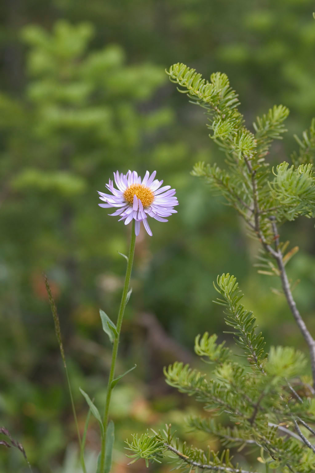
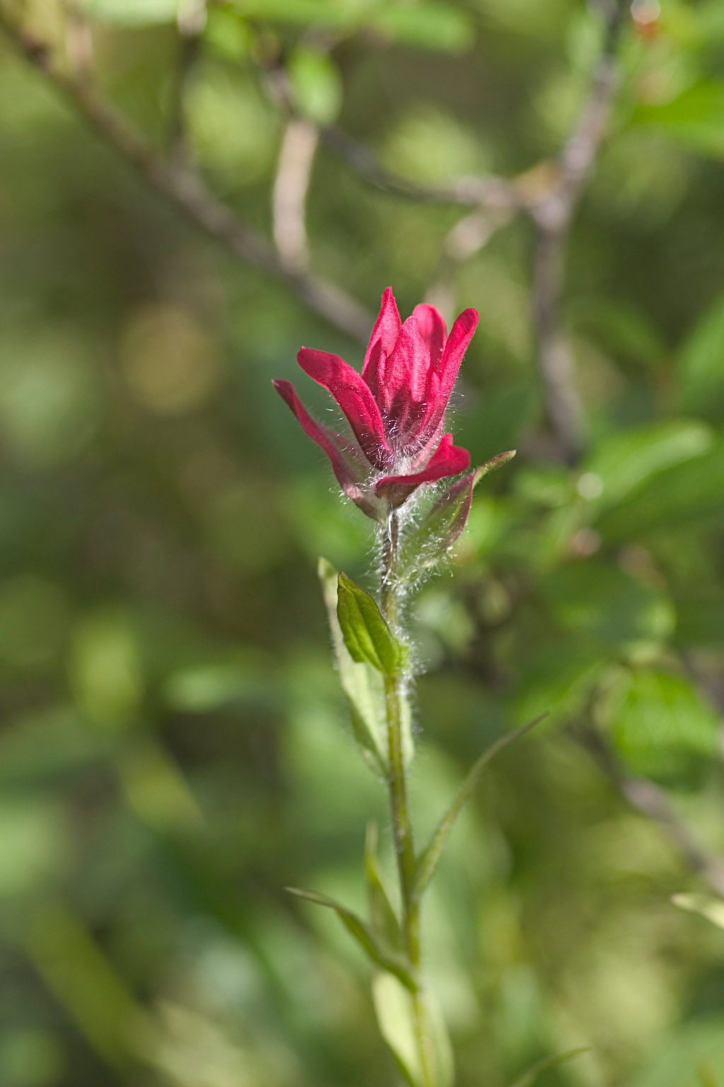
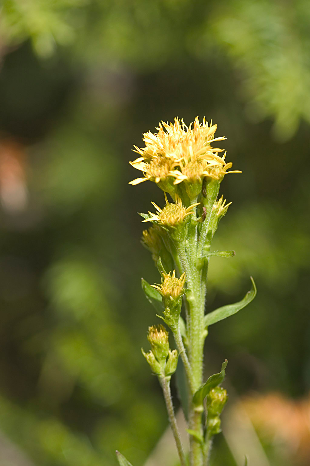
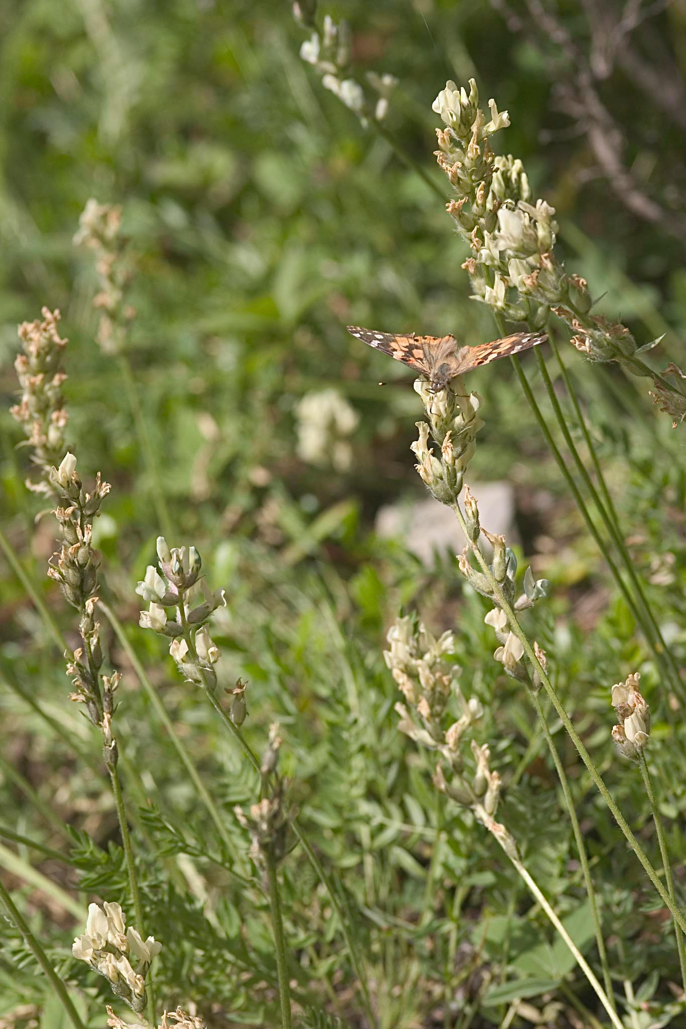
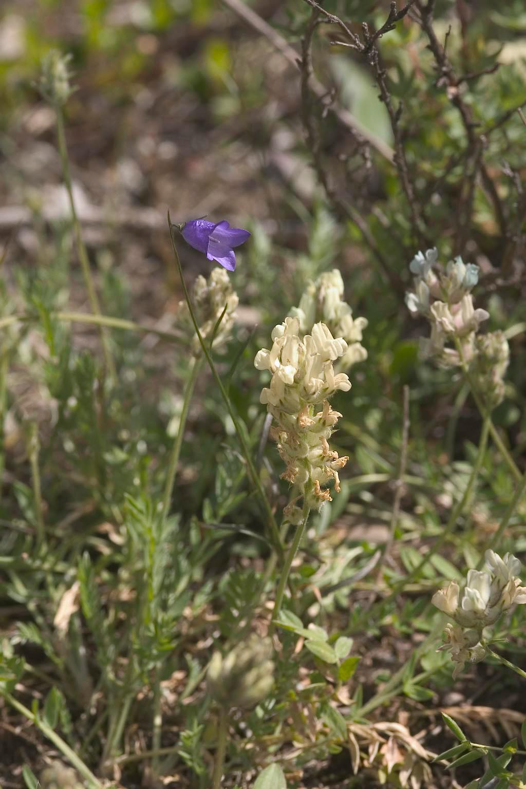
Flowers at Peyto Lake, another 15 miles north.
The Peyto Lake Viewpoint and Bow Summit is a well done tourist
spot. Quoting from our map,
"If you only have time for one short
walk on your drive along the Icefields Parkway, make this the
one. A wide asphalt path leads gently uphill to a spectacular
viewpoint of Peyto Lake, arguably the most gorgeous lake in Banff
national Park. Along the walkway, interpretive signs introduce
you to some of the animals, wildflowers and trees that live in the
harsh alpine environment of Bow Summit. At 2,069 metres (6,788
feet), Bow Summit is not only the highest point on the Icefields
Parkway, but the highest point crossed by a major highway in Canada.
Start at the large trail sign at the far (north) end of the parking
lot. From there, a wide asphalt path leads gently uphill to a
wooden platform overlooking stunningly turquoise Peyto Lake. The
lake, which lies 250 metres (820 feet) below, is named after Bill Peyto
(PEE-toe), a colorful character who guided hunting trips in this area
and later became one of Banff's first park wardens."
(Despite the apparently official pronunciation to the contrary, the
locals consistently said "Bill PAY-toe". Go figure.)
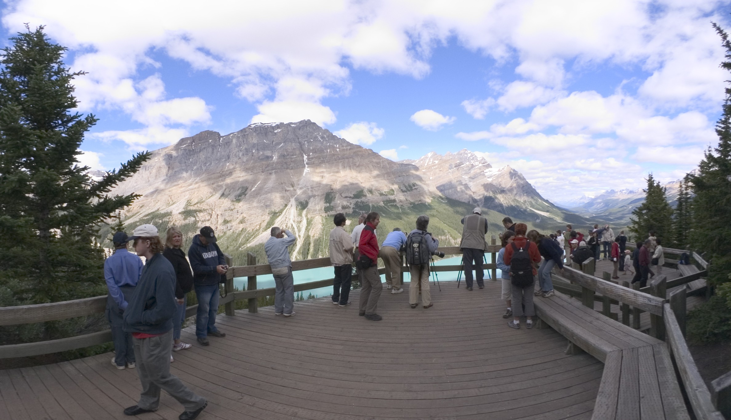
Here's the mob on the platform. (Yes, the boards of the platform
are actually straight, not curved as they appear in this remapped
fisheye view.)
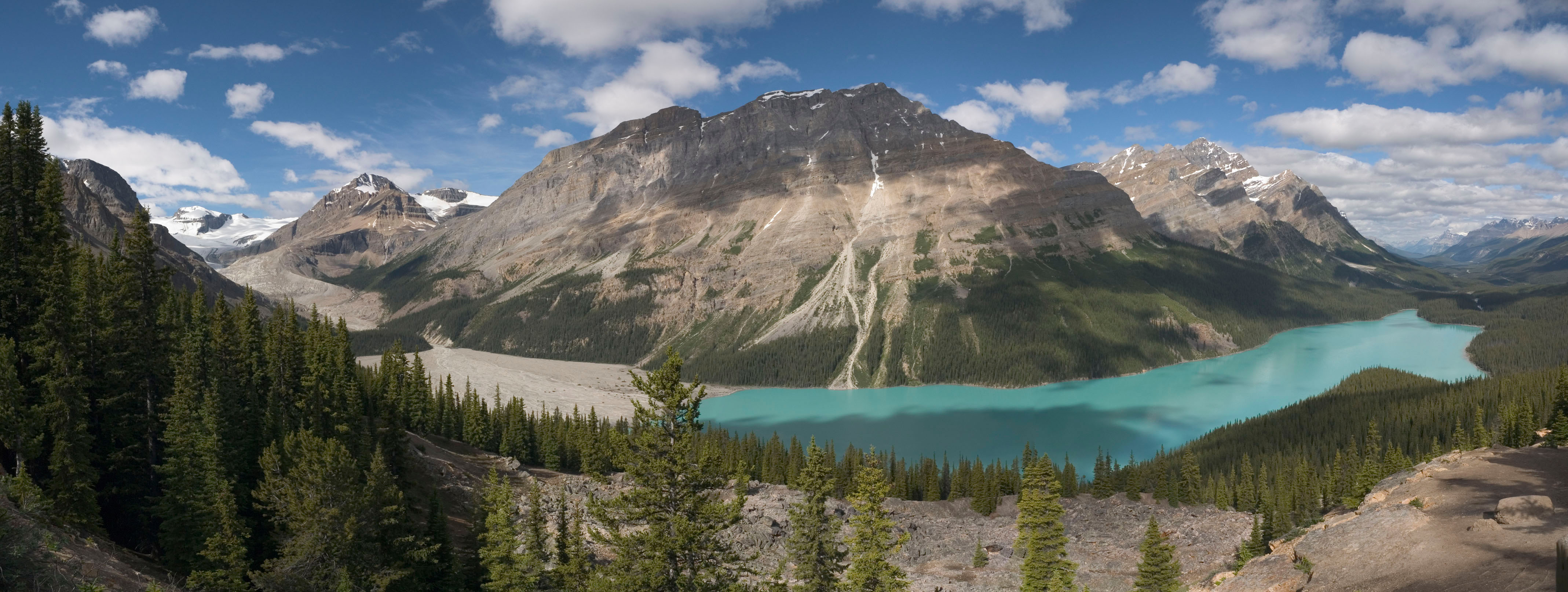
With a bit of waiting and some careful positioning, I was able to get
this. (Stitched from 5 frames. Click to see full size for
detail.)
The lake is fed by Peyto Glacier (left background). Peyto Glacier
is a small foot of the Wapta Icefield, which also feeds Bow Glacier and
thence Bow Lake [links to be provided later].
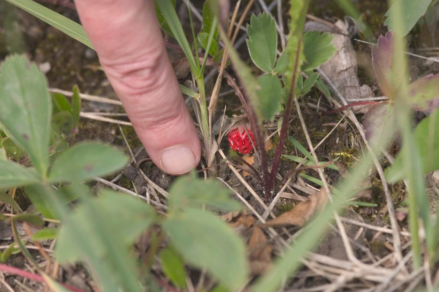
More flowers at the Peyto Lake area...
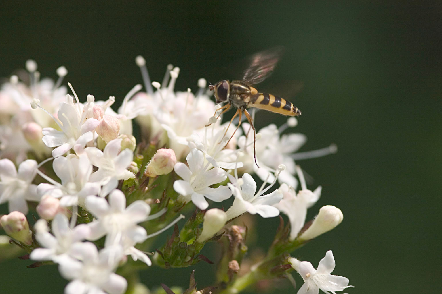
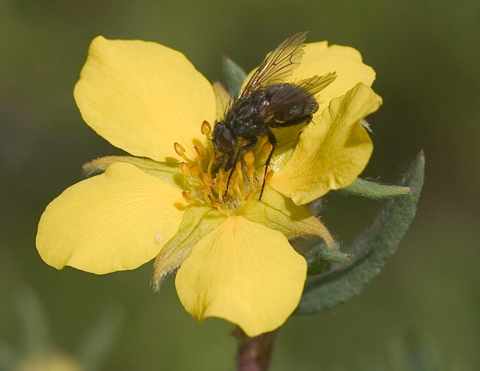
I never did get a really well focused shot of this little Syrphid
fly.
But I did get lucky this one time, when he decided to leave just as I
snapped the picture.
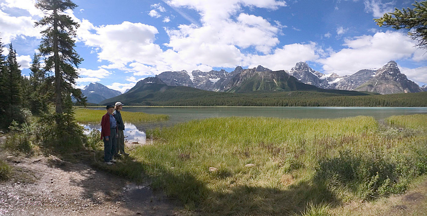
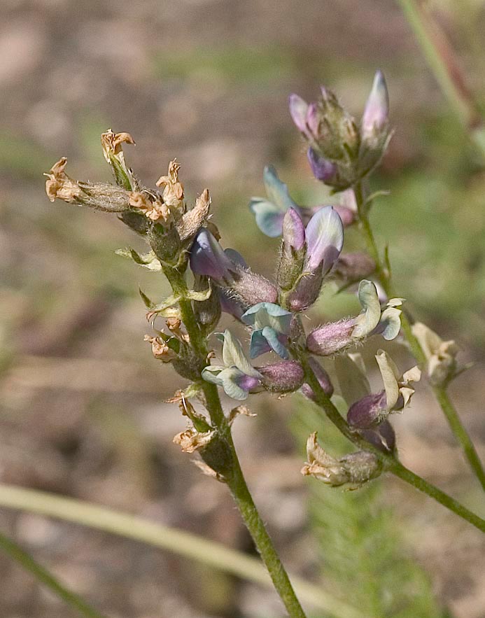
We switch now to Waterfowl Lakes, another 15 miles north. Says
the map:
"A two-minute walk on a trail starting
at the back of this small pull-out leads downhill to a viewpoint on the
shore of lovely Upper Waterflowl Lake. The two Waterfowl Lakes
are also one of the best bets for seeing moose along the Icefields
Parkway"
"Small pull-out" indeed! I think we had to take three shots at
finding this one -- drive past unseeing, turn around, drive past again
("You think that was it?"), finally get it on the third try. Well
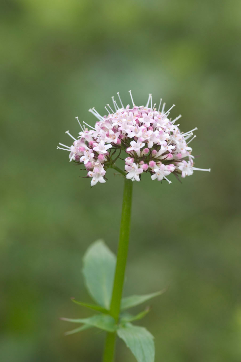
worth the trouble. No moose, no waterfowl. But no people,
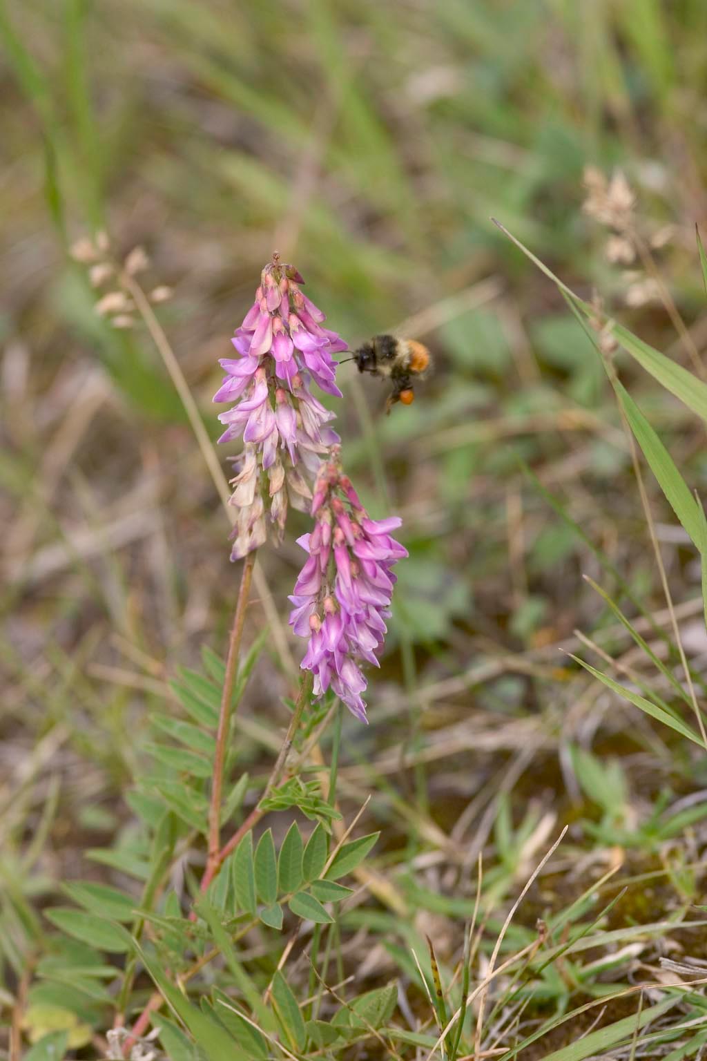
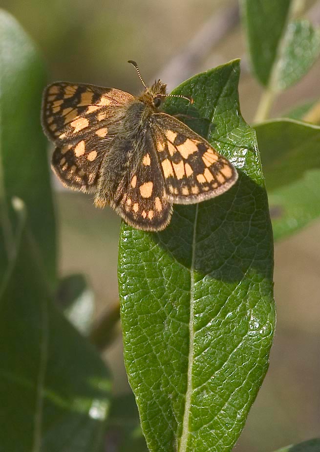
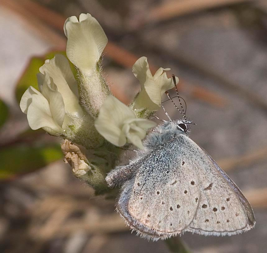
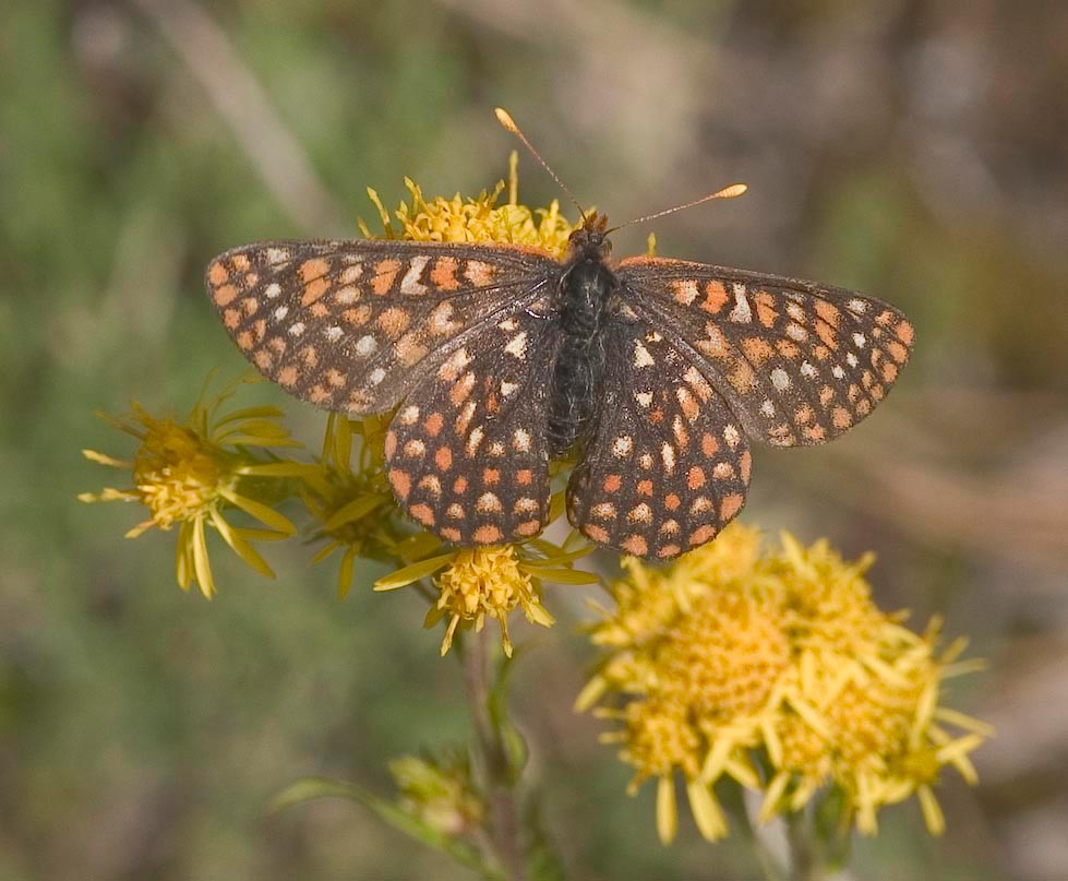
and nice scenery, and nice flowers. Even a few butterflies!
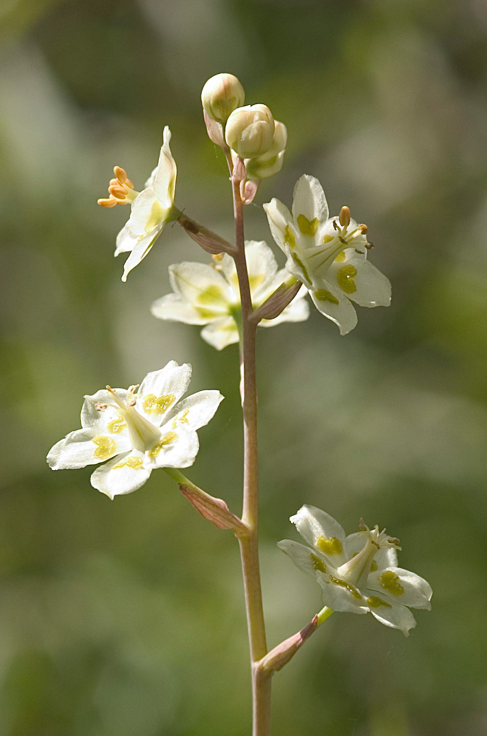
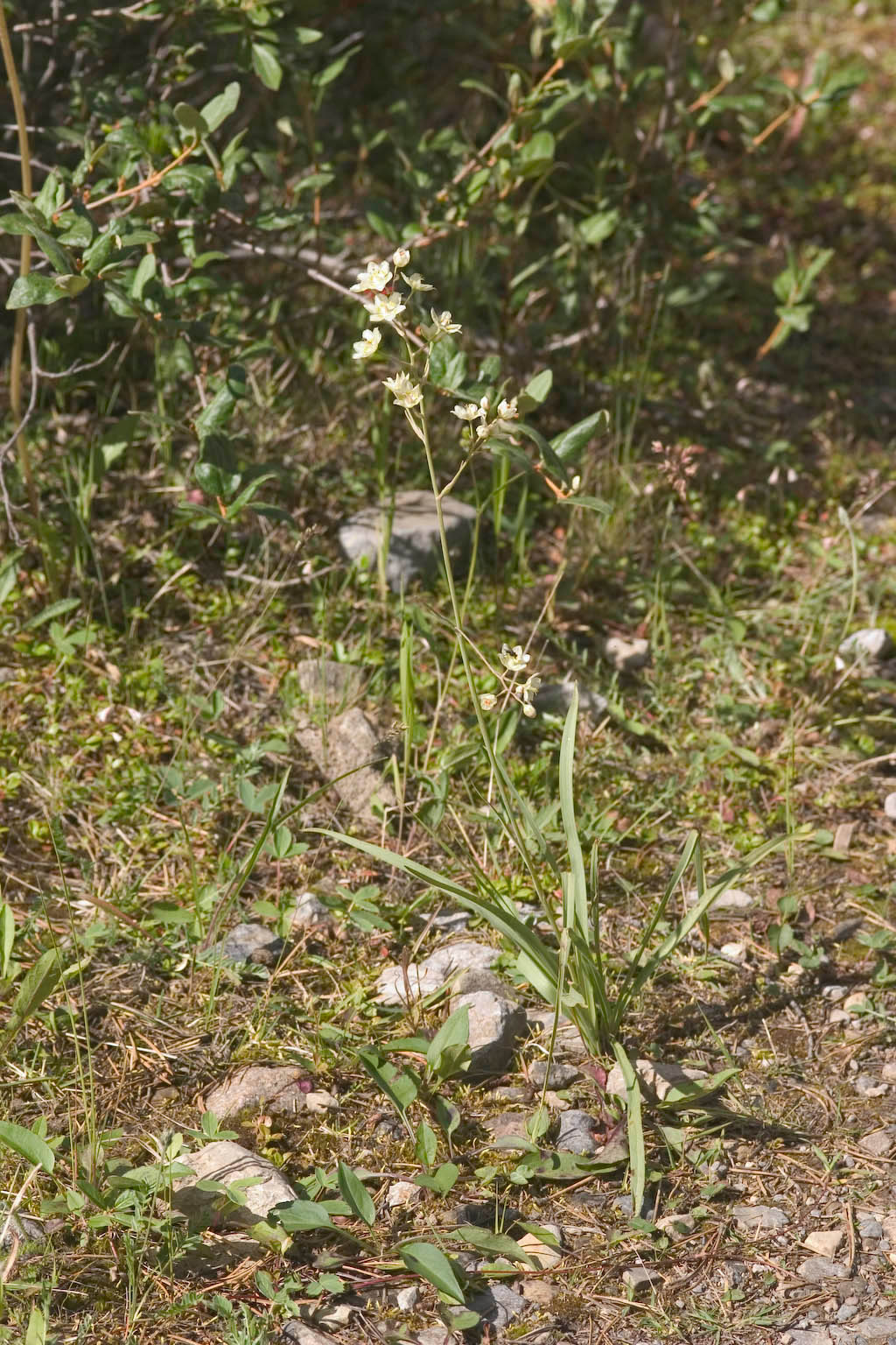
Here's the same flower, from a couple of different viewpoints.
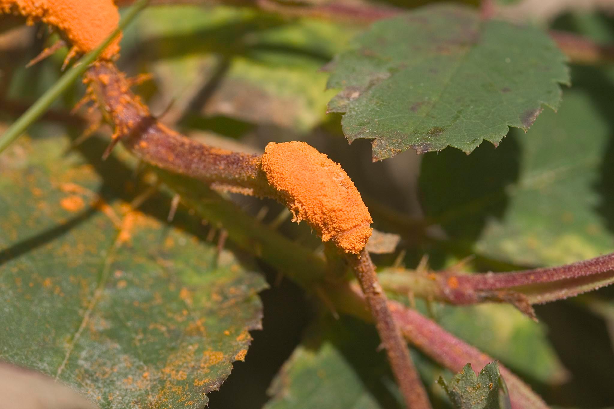
Do not adjust your monitor -- this fungus growth on a little bush
really was flaming orange!
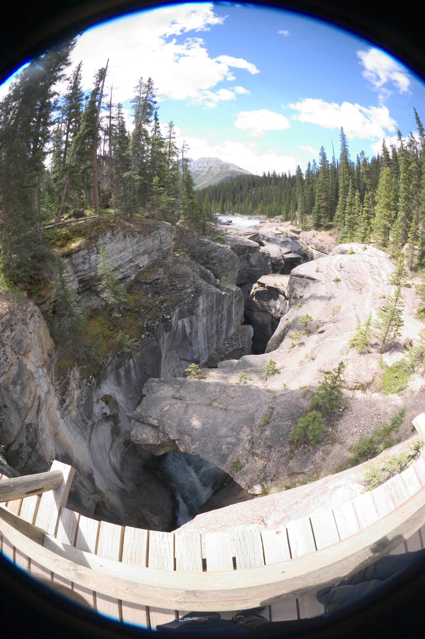
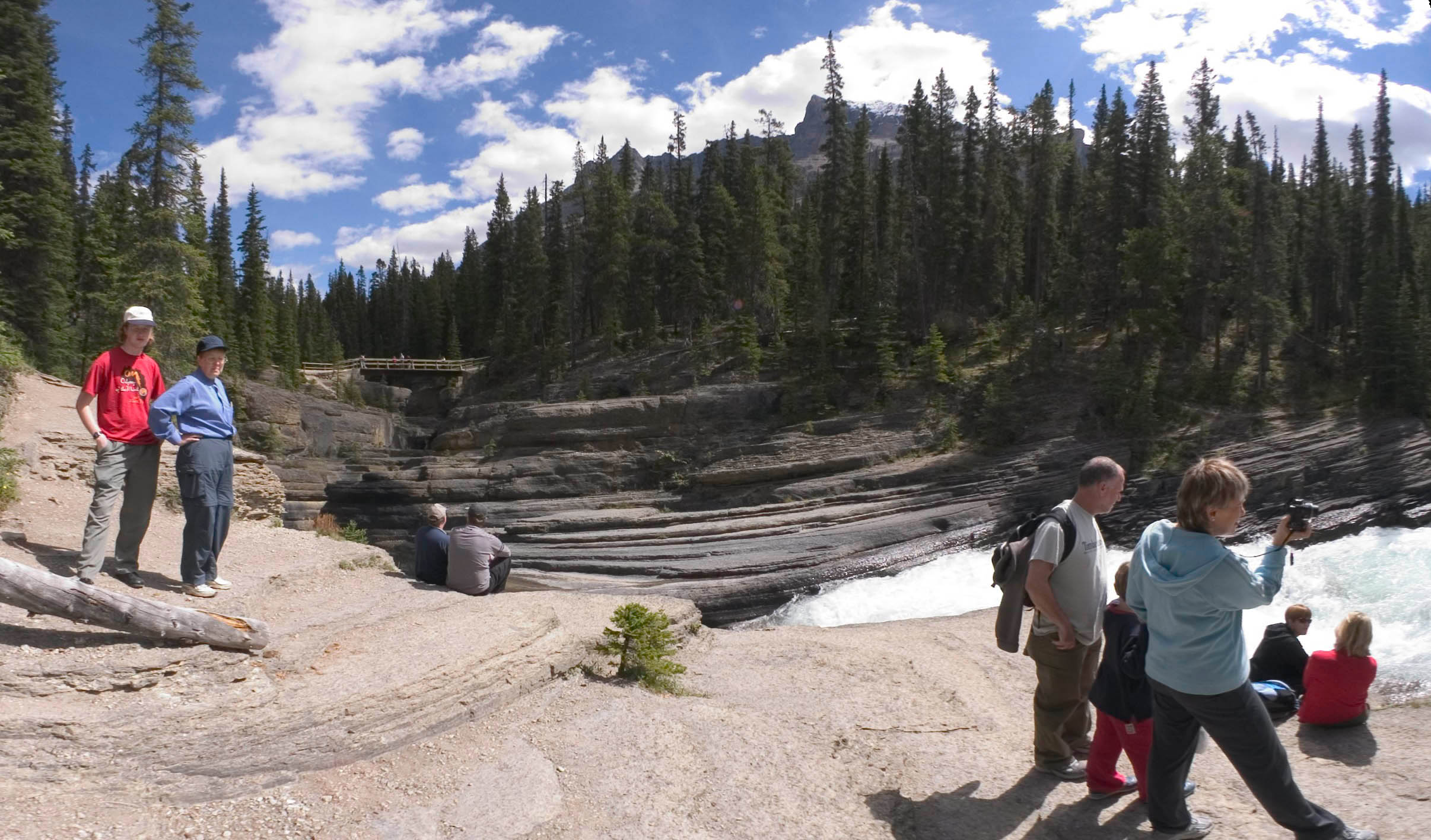
Switch sites... Mistaya Canyon Viewpoint. Says the map,
"...footbridge over a narrow potholed gorge [with the] Mistaya River
swirling far below". By "narrow", they mean a few feet. But
in some cases, like right next to the bridge, it is narrow at ground
level and hollowed much wider below. The heavily traveled path
leads to a rocky point at the white water just before the river enters
the gorge. There are no guardrails or warning/disclaimer signs,
though it would be certain death to slip into the water at this place,
and the water is only a couple of feet away. Fortunately the rock
is very clean and "sticky", with a texture that grips shoe soles like
sandpaper. Still, it seems a miracle that they don't lose a few
small children here.
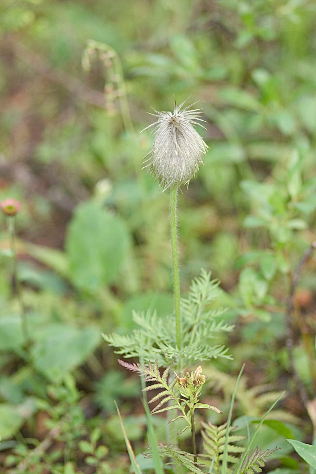
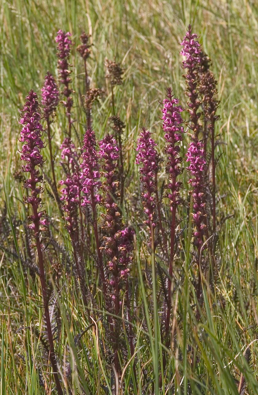
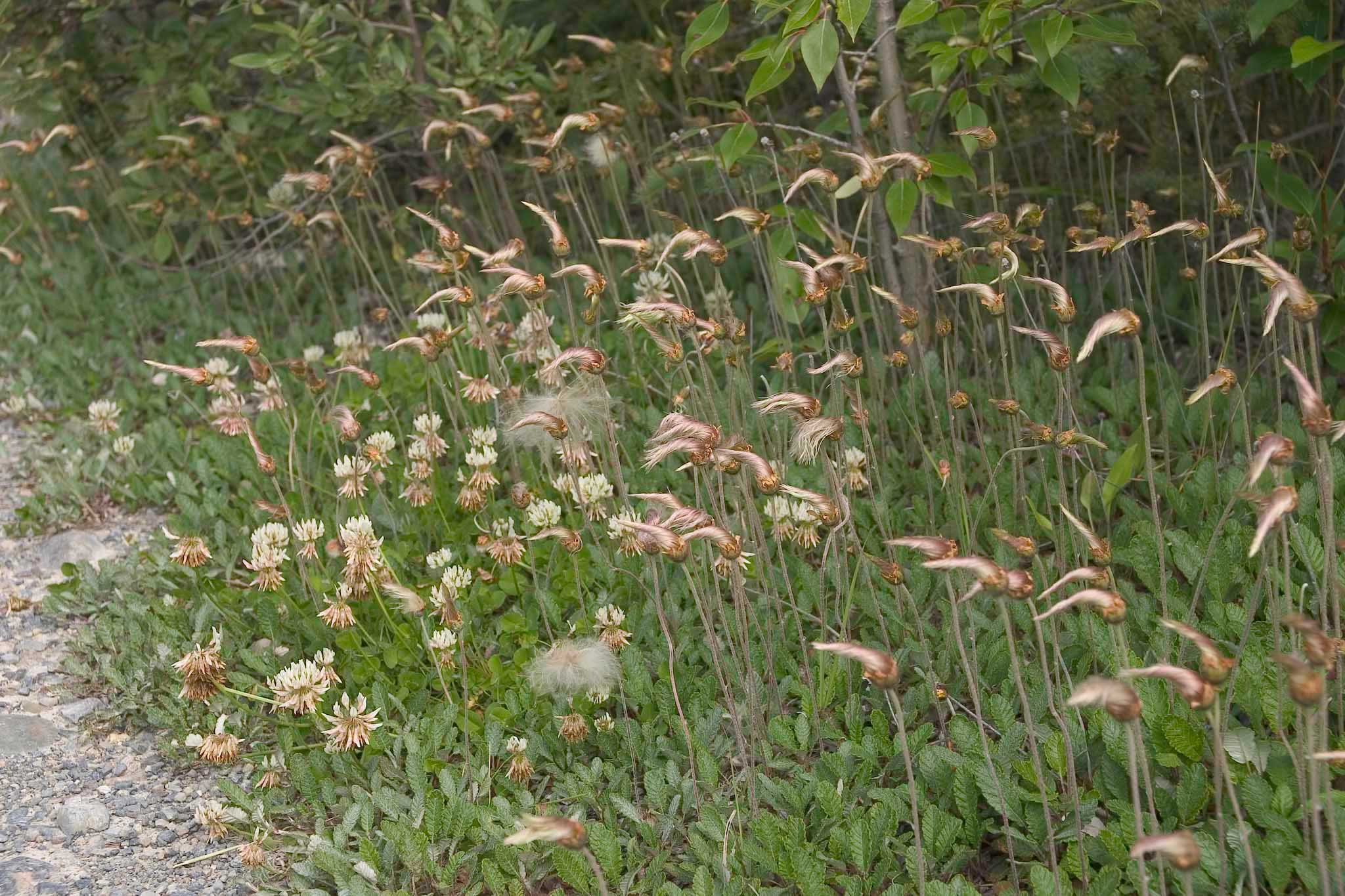
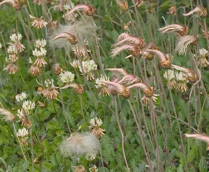
I don't know what flower goes with these interesting seedheads.
They apparently form twisted, then untwist just before "poofing" out.
This is overlooking the North Saskatchewan River, just west of the
Sasketchewan River Crossing. This was a tiny unmarked pullout,
with a grassy knoll that would have been ideal for lunch --- if only it
had not been so hot in the sun! A small space under the trees
worked much better for that.
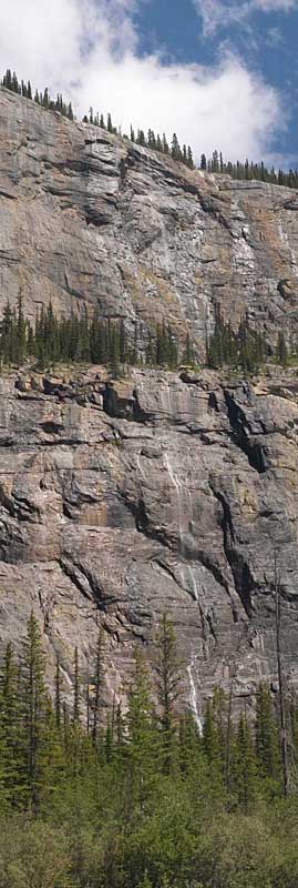
At the Weeping Wall viewpoint, just before the Big Bend
viewpoint. This one wasn't even dotted as a place of special
interest on the map. But I found it fascinating. Says a web
page: "As meltwater and seepage make their way down the slopes of
Cirrus Mountain, they create a magical curtain of water. In the winter,
it freezes into a solid wall of ice popular with ice climbers." I
can't confirm the part about ice climbers, but it was definitely
popular with the busload of Japanese tourists stopped while we were
there. It took me a long time to figure out what was going
on. At first just one person got out of the bus -- some guy with
a huge professional-size video camera and a windproof mike. He
panned up and down the cliff a couple of times, then turned the camera
on the bus while everybody else got out. Best I can figure, he's
recording the group video scrapbook, like a tour ship photographer.
You really do want to click on this one, to blow it up to full
detail. A sample is shown on the right.

Big Bend Viewpoint. I think the Weeping Wall is just right of
dead center in this picture. Bridal Veil Falls (how many of those are there?!) is
visible at left on the hillside beyond the parking lot. Coming
across the bridge at center, I'm pretty sure that I got one good look
at the south end of the Saskatchewan Glacier, which in theory "cannot
be seen from the parkway". But it doesn't matter -- there's no
place nearby to stop for a picture. Oh well, perhaps another
time. (See "Saskatchewan
Glacier from Parker Ridge", linked from here.)
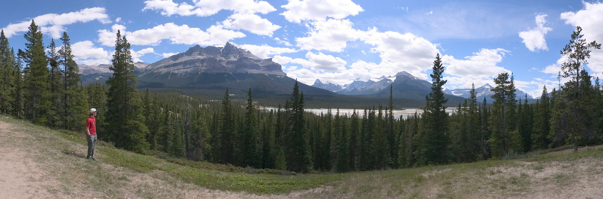
A few miles farther brought us to the top of the northern pass of the
Icefields Parkway, about 85 miles north of Lake Louise and 65 miles
south of Jasper. I found myself repeatedly confused by the
topography on this trip. Going north out of Lake Louise: 1)
the Bow River flows south, 2) the Mistaya River flows north, 3) the
North Saskatchewan River flows south (then turns and flows north again,
away from the Parkway), and 4) the Athasbasca River flows north.
Four rivers, three changes of direction. OK, I guess I don't feel
so bad about being confused while I was there. Anyway...
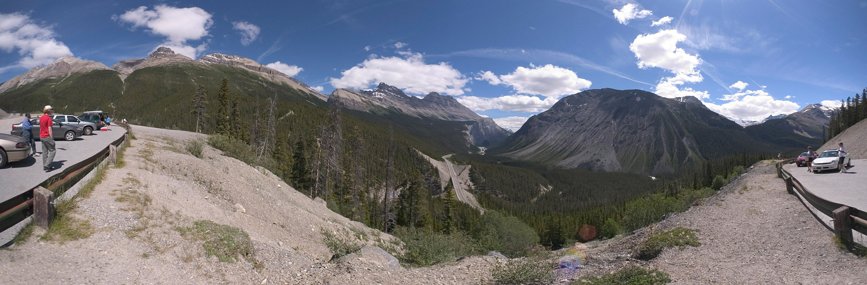
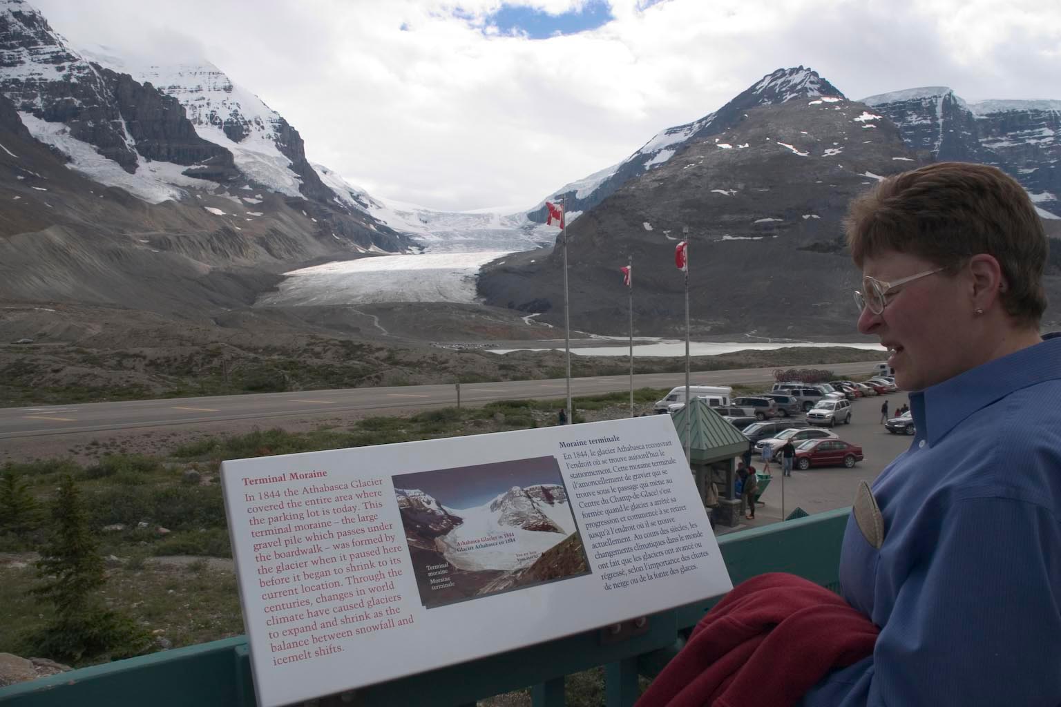
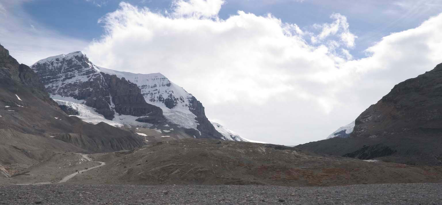
The northern pass of the Icefields Parkway is at the Columbia
Icefields, where we have the famous Athasbasca Glacier. By this
point of the trip, we were so used to tiny pullouts that we expected
more of the same and accidentally drove into an "Authorized Vehicles
Only" road thinking that it looked to be about the right size. No
problem, just turn around and drive back out -- just in time to see the
next tourist doing the same thing!
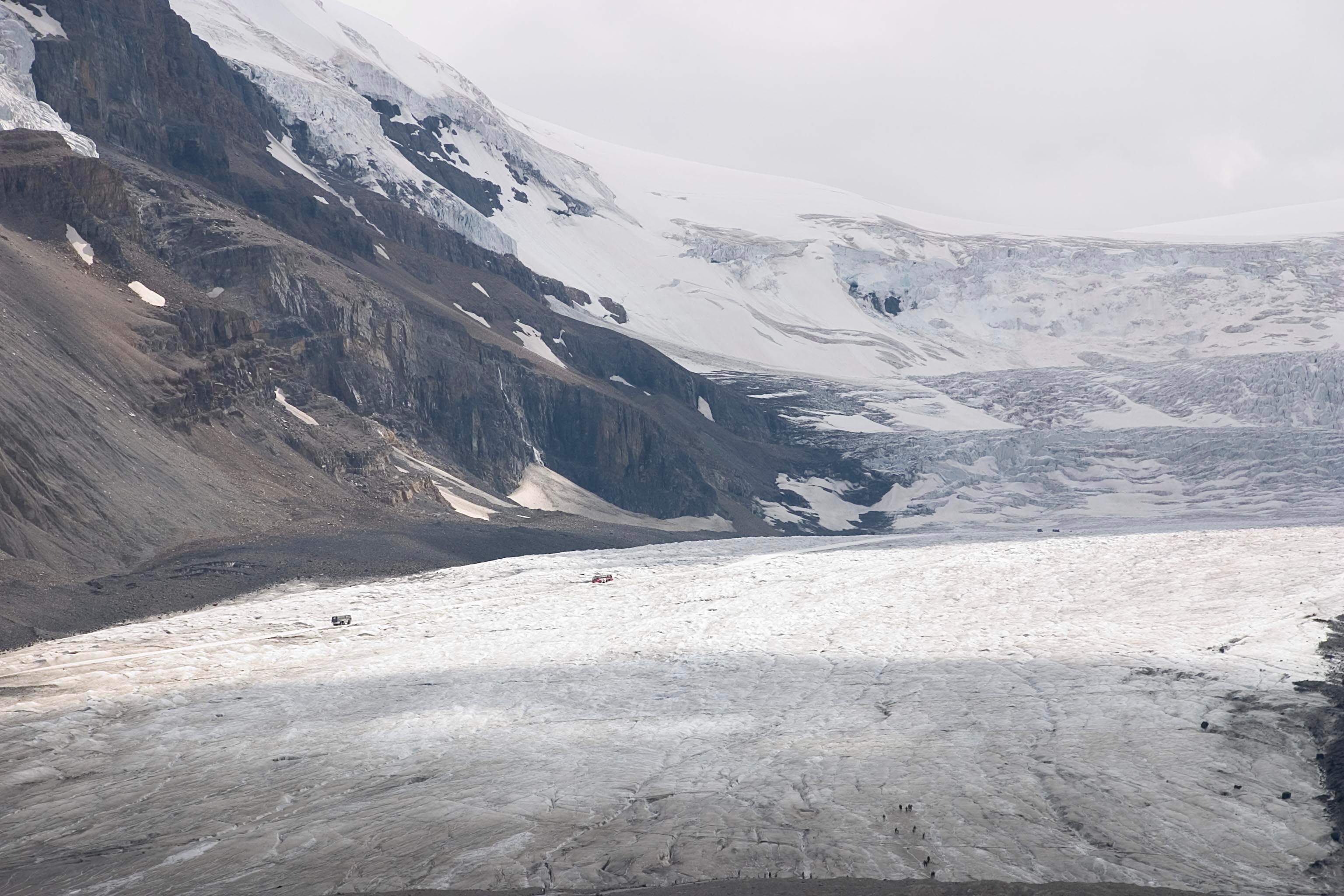
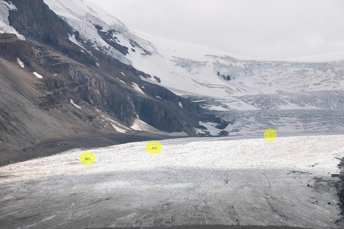
Here's a nice overview shot. (Click to read sign.) The
scale is impossible to get from this picrue, and in fact pretty much
impossible to get when you're standing there. At image
center, you can see tiny cars in the parking lot near the toe of the
glacier.
If you want to take a bus tour onto the glacier, here is the sort of
vehicle you will ride in.
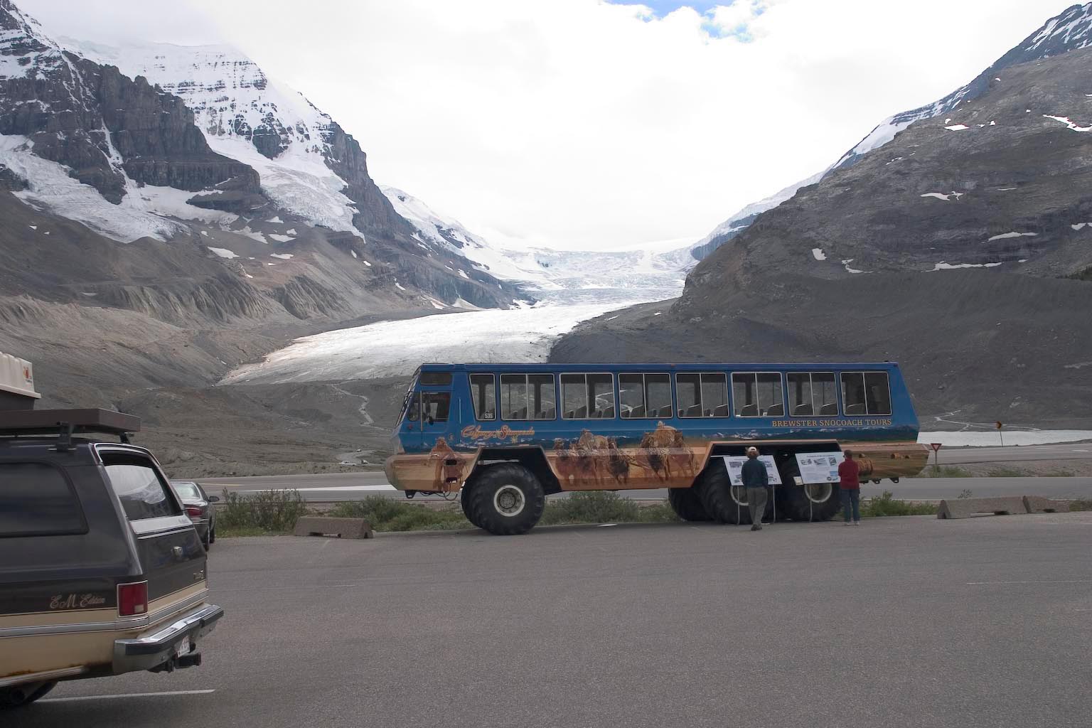
Here are some of those vehicles on the glacier (click for
full size).
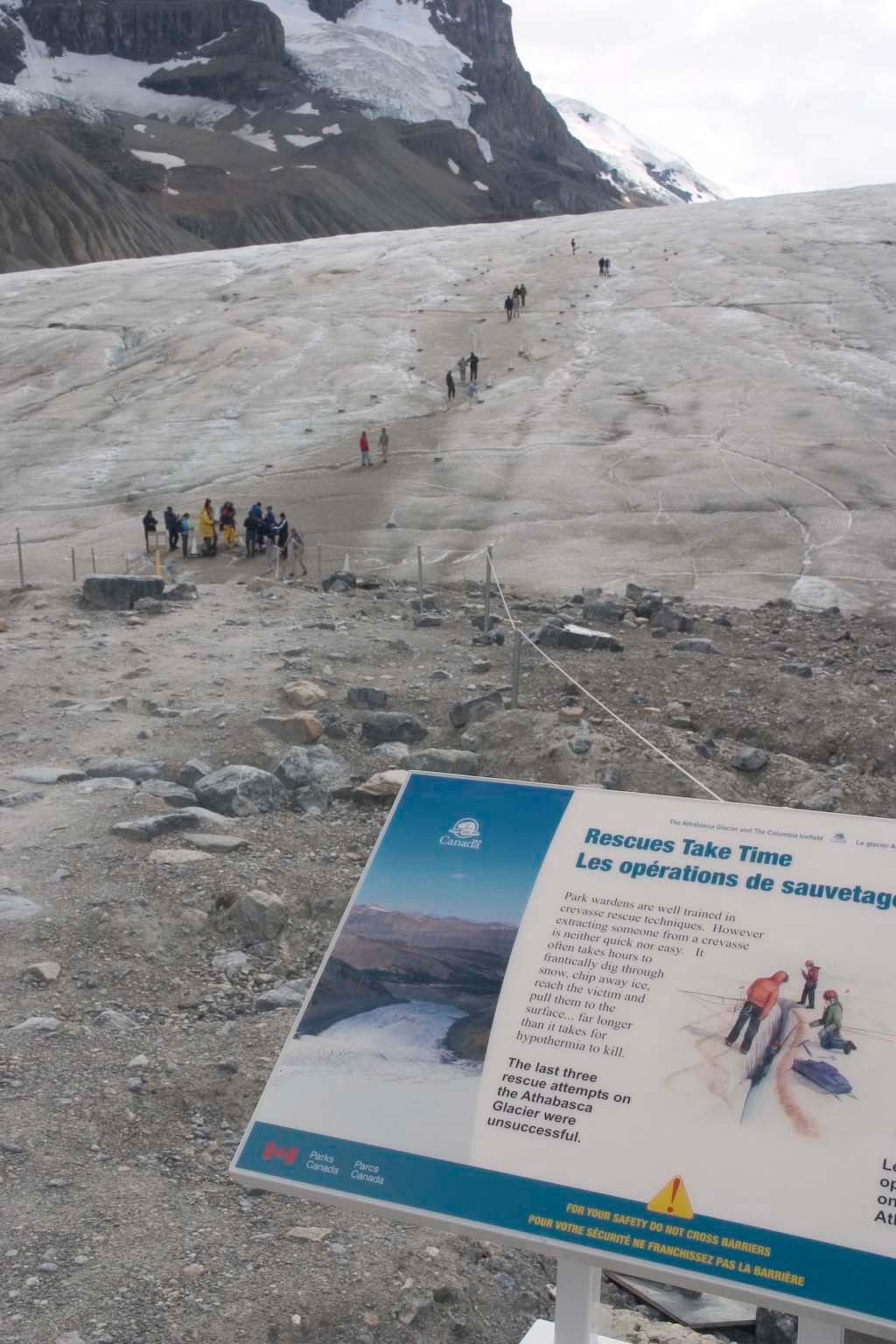
At the glacier are some modest provisions for tourist safety --
primarily signs like this, trying to get through to you the idea that
this glacier is dangerous not because you will be hurt by falling into
a crevasse, but because you will be killed by the cold when you get
stuck.
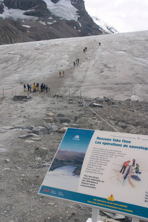
I found the concept easy to grasp from the following few scenes.
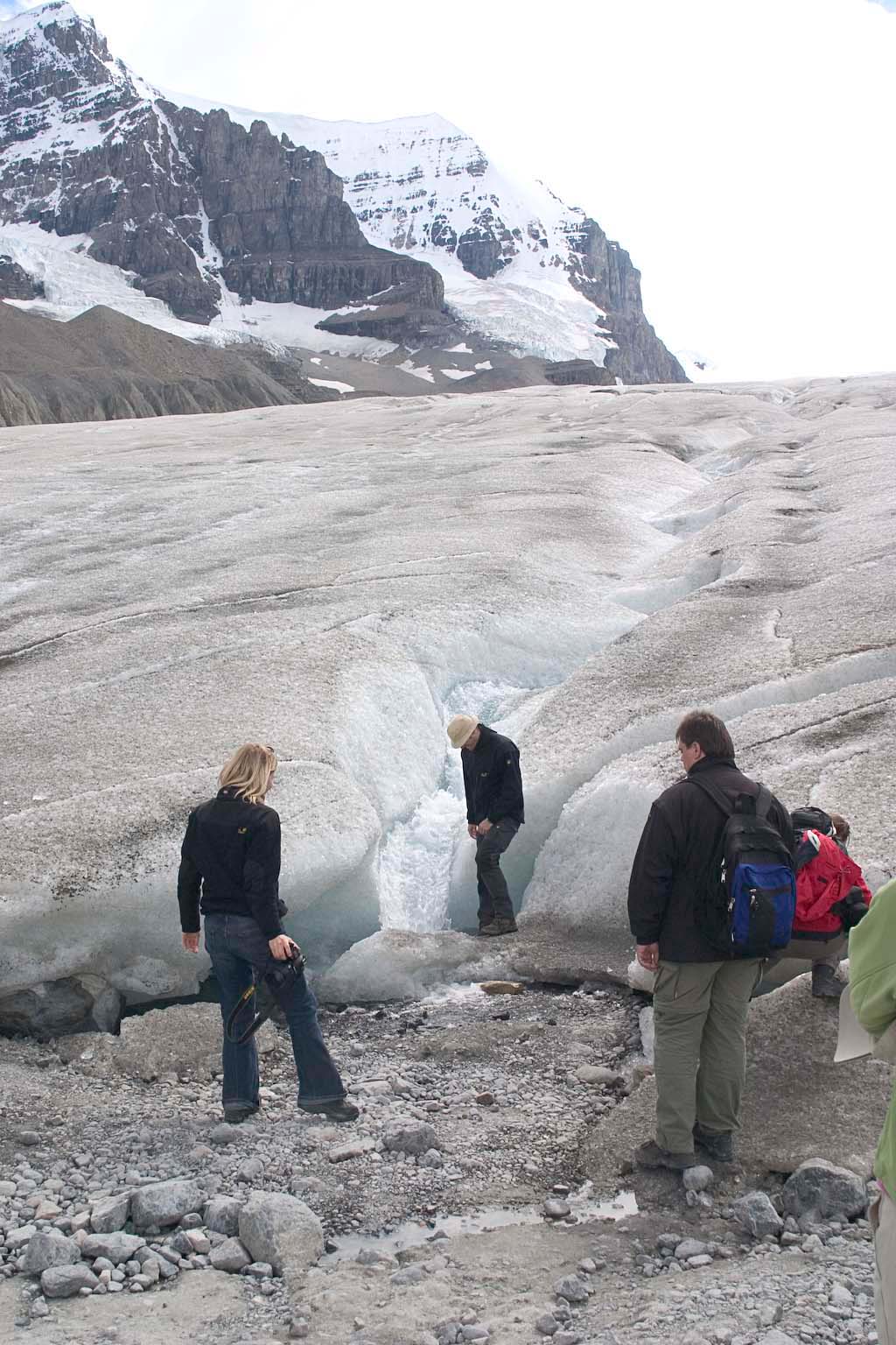
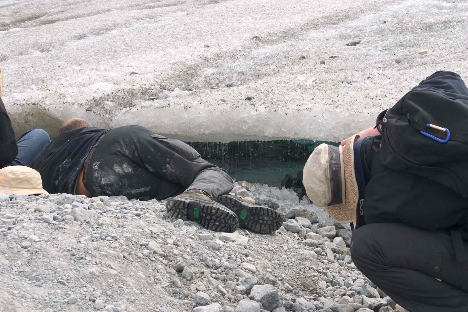
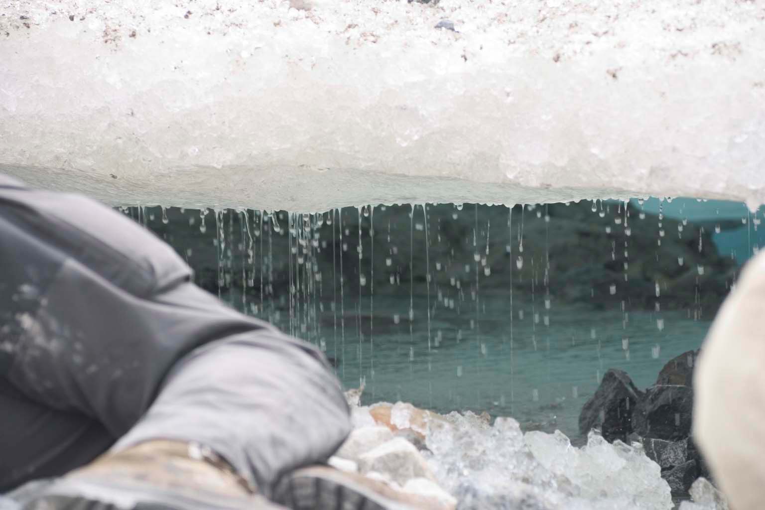
The cautions were not perfectly obeyed. However, conditions were
probably not very treacherous when we were there, after
a long period of clear warm weather that made the crevasses relatively
obvious. From some of the other signs, it seems that the big
problem
occurs when there has been just enough snow to bridge over the
crevasses, followed by weather that makes it more attractive to walk on
the snow than the ice. Oops -- really bad idea!
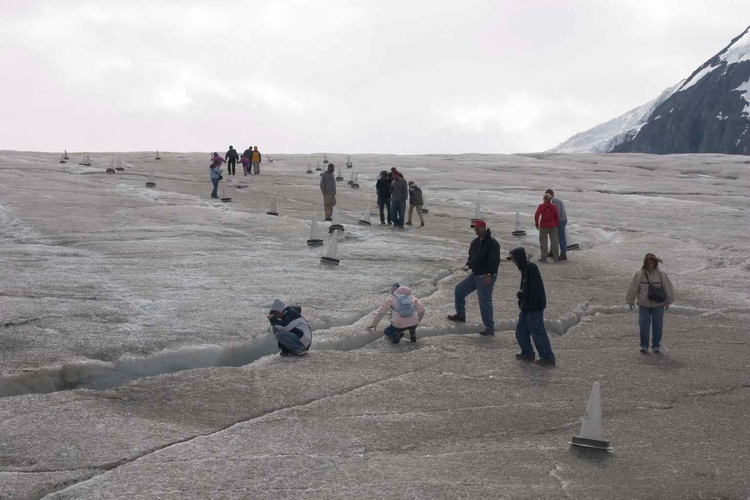
Here's another shot for scale, from the parking lot at the toe of the
glacier. Those are people on the trail. The trail itself seems to
run over bedrock that has a bit of rubble
left on it from glacial retreat. That hill appears to be rock,
not
terminal moraine.
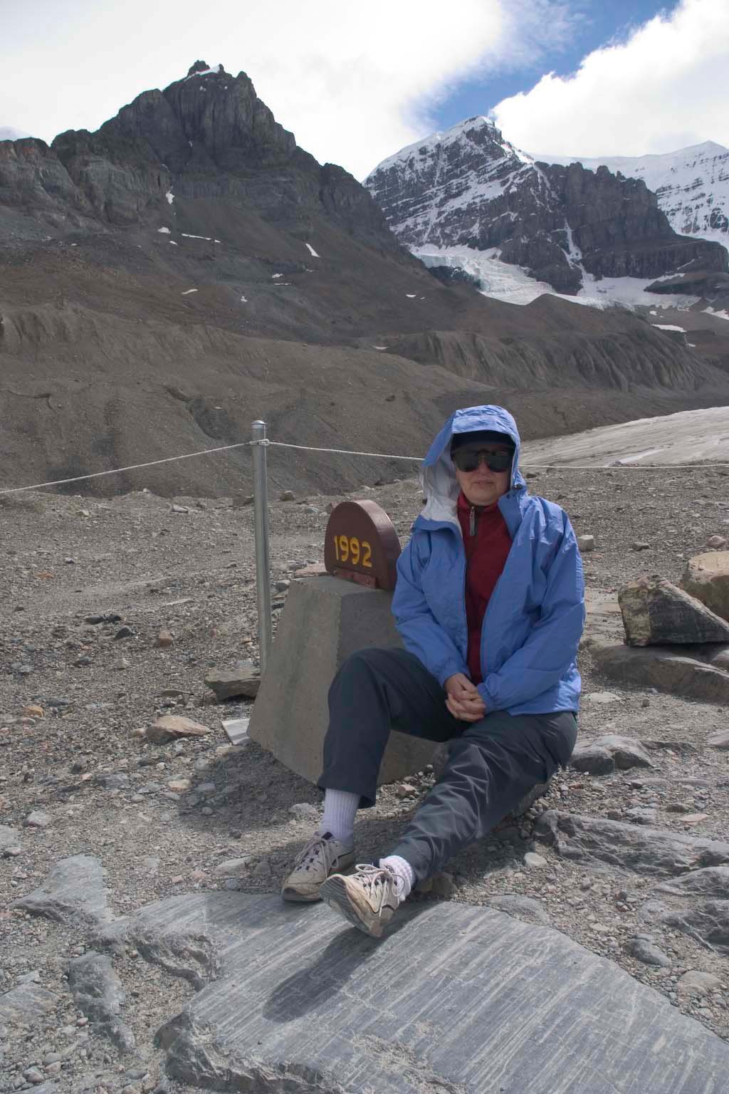
Here are some nice scrape marks in the bedrock, near the top of the
trail. The marker notes the year when the glacier's toe was at
this place.
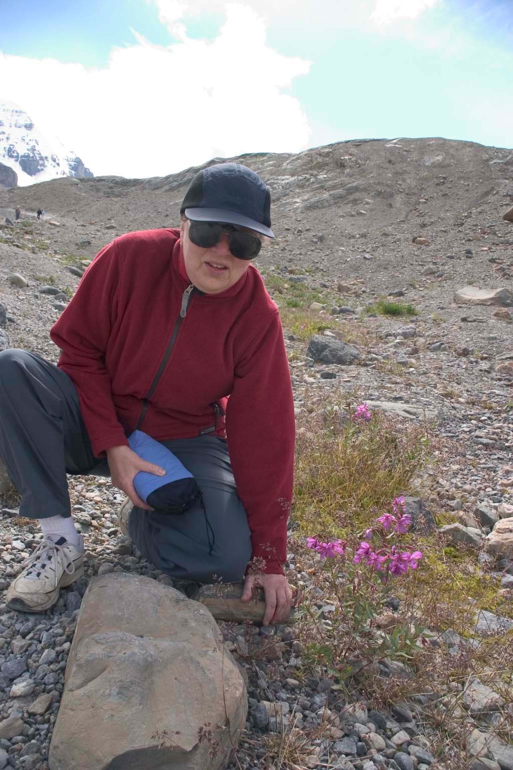
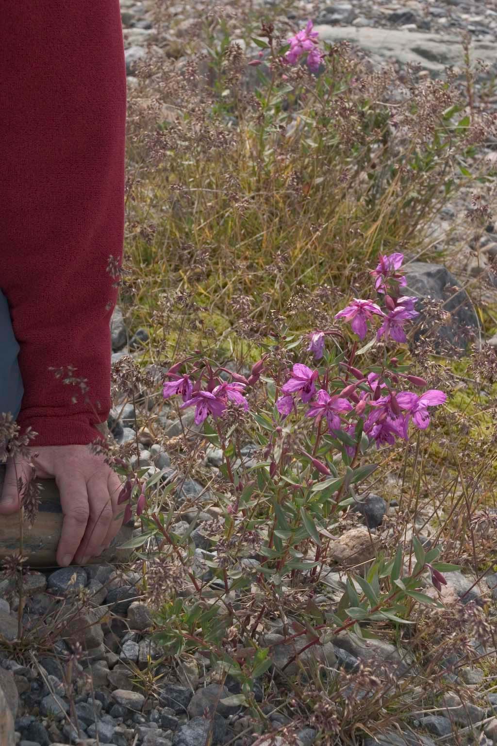
On the terminal moraine, there were these fireweeds with huge blossoms
-- very different from the ones I know from my usual hiking.
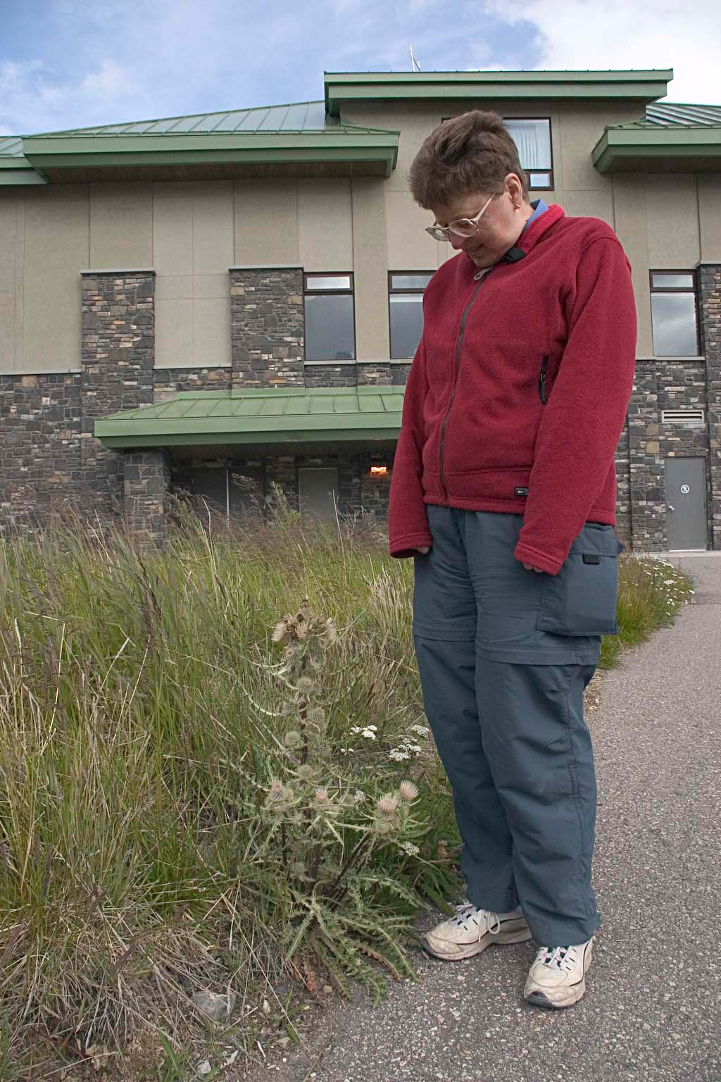
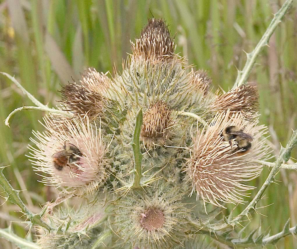
And at the visitors' center, these interesting thistles, being well
worked by the local bumblebees..
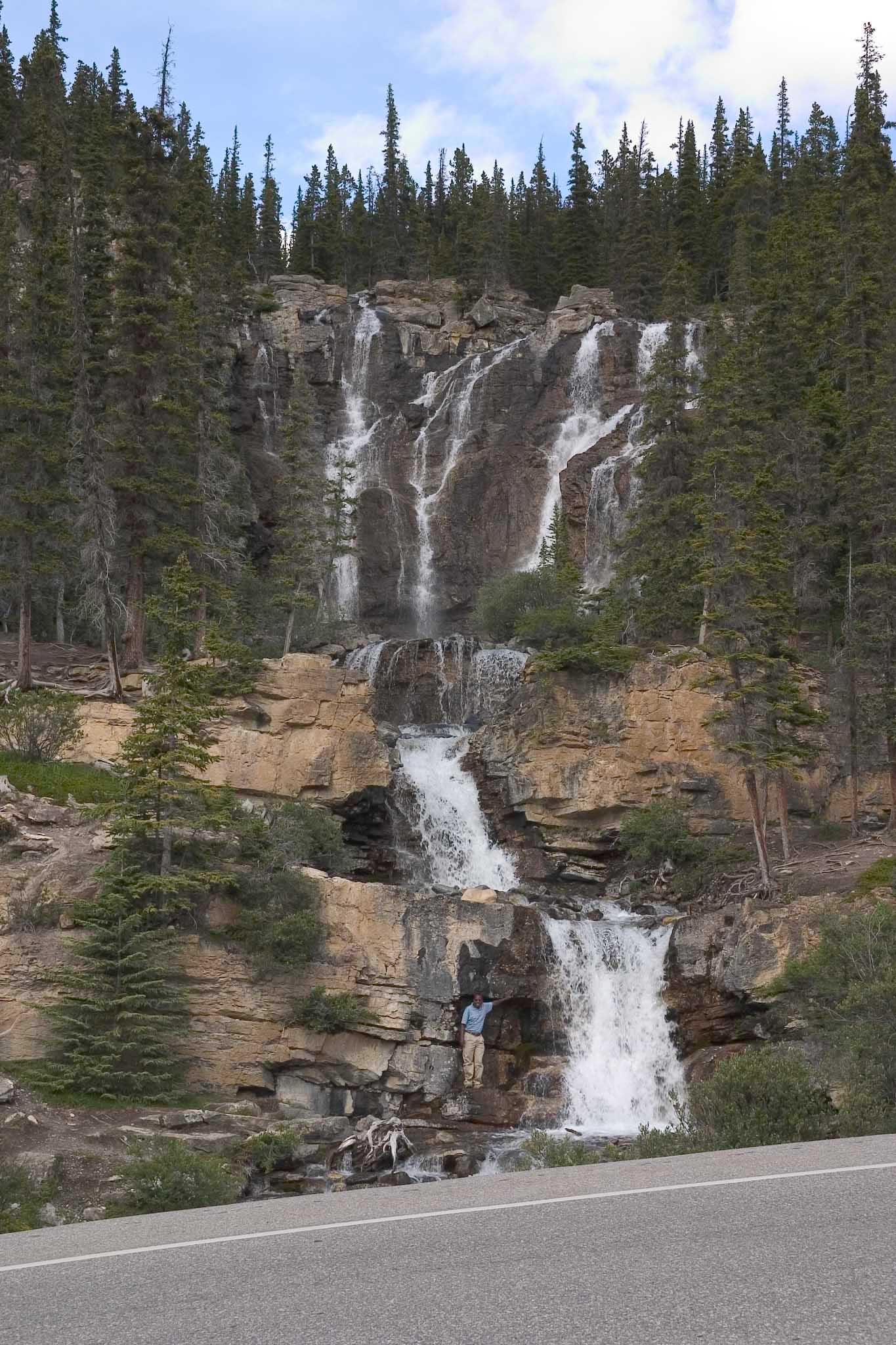
This is at Tangle Creek Falls, only about 5 miles north of the
Athabasca Glacier. I have no idea who the fellow is, standing
near the falls. He was just there, posing for someone else.
We were getting pretty late and tired by that point, about 5 pm with
still some driving to go, so we decided to pass most everything else
and catch it on the way back.
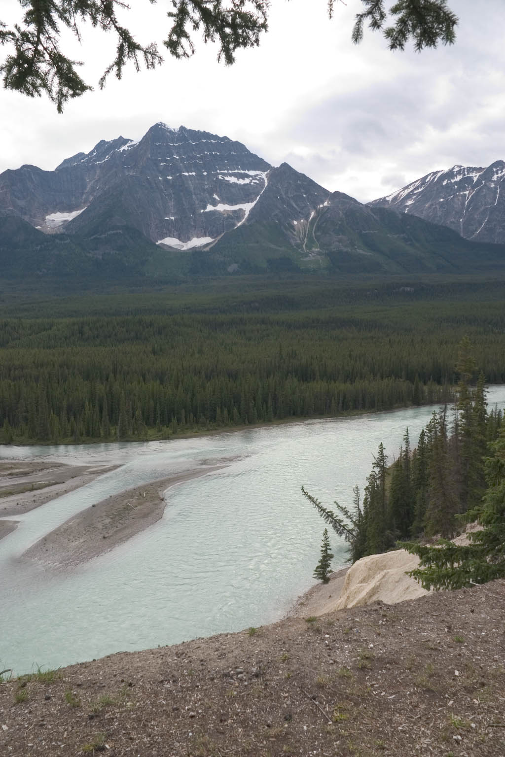
I did shoot one more set of pictures at this "Mountain Goat Viewpoint"
site overlooking the
Athasbasca River, about 25 miles south of Jasper. One of the
guidebooks said that there is a natural saltlick near the river, below
the overlook, that attracts mountain goats. We never did figure
out what it was talking about.
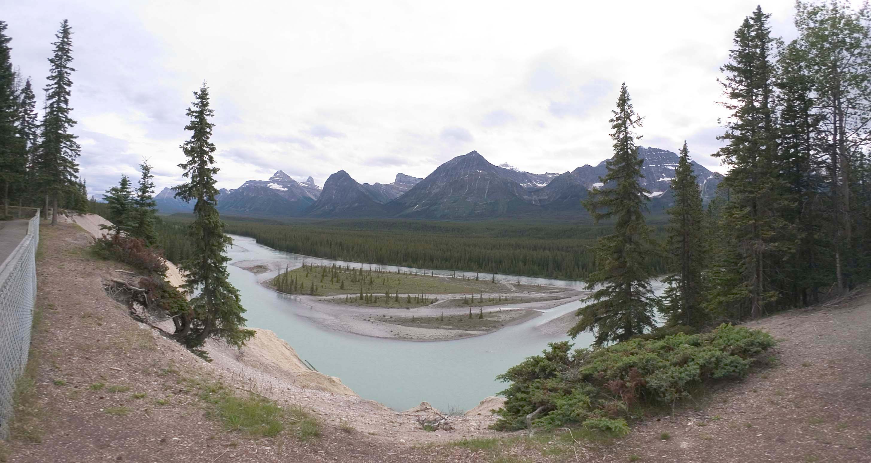
But there were these interesting trees on the riverbank. What's
interesting is not just the leaning trees, but the fact that their
support has obviously eroded away, while there is still another tree
growing straight up right at the edge of the water just a hair
upstream. Must be something funny about the shape of the
shoreline there, but we did not have time to figure it out.
The next two evenings were spent at the Amethyst Lodge in Jasper.
Despite its name, this place was really just a run-of-the-mill hotel
with a restaurant that looked good on paper but was almost devoid of
both customers and staff. We walked a couple of blocks to some
brightly lit place with smiling customers and a short wait. No
doubt the Visa receipts have the name of the place. I surely
don't remember.
--Rik
This page last modified August 13, 2005.